Disclaimer: The content on this wiki is fictional and NOT a resource for real tropical cyclones. NONE of this wiki's content should be taken as a real indication of inclement weather.
This season is made by The Chosen Wizard. Due to the page's age, edits are no longer allowed. I may be creating a new season like this one. Thank you for reading this notice. Have a great day everyone!
SOME BROWSERS OR COMPUTERS MAY HAVE DIFFICULTY VIEWING THIS PAGE
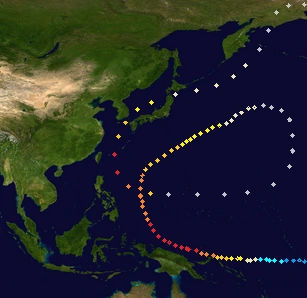
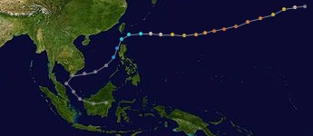
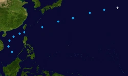
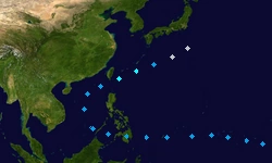
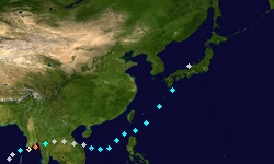
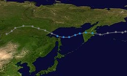
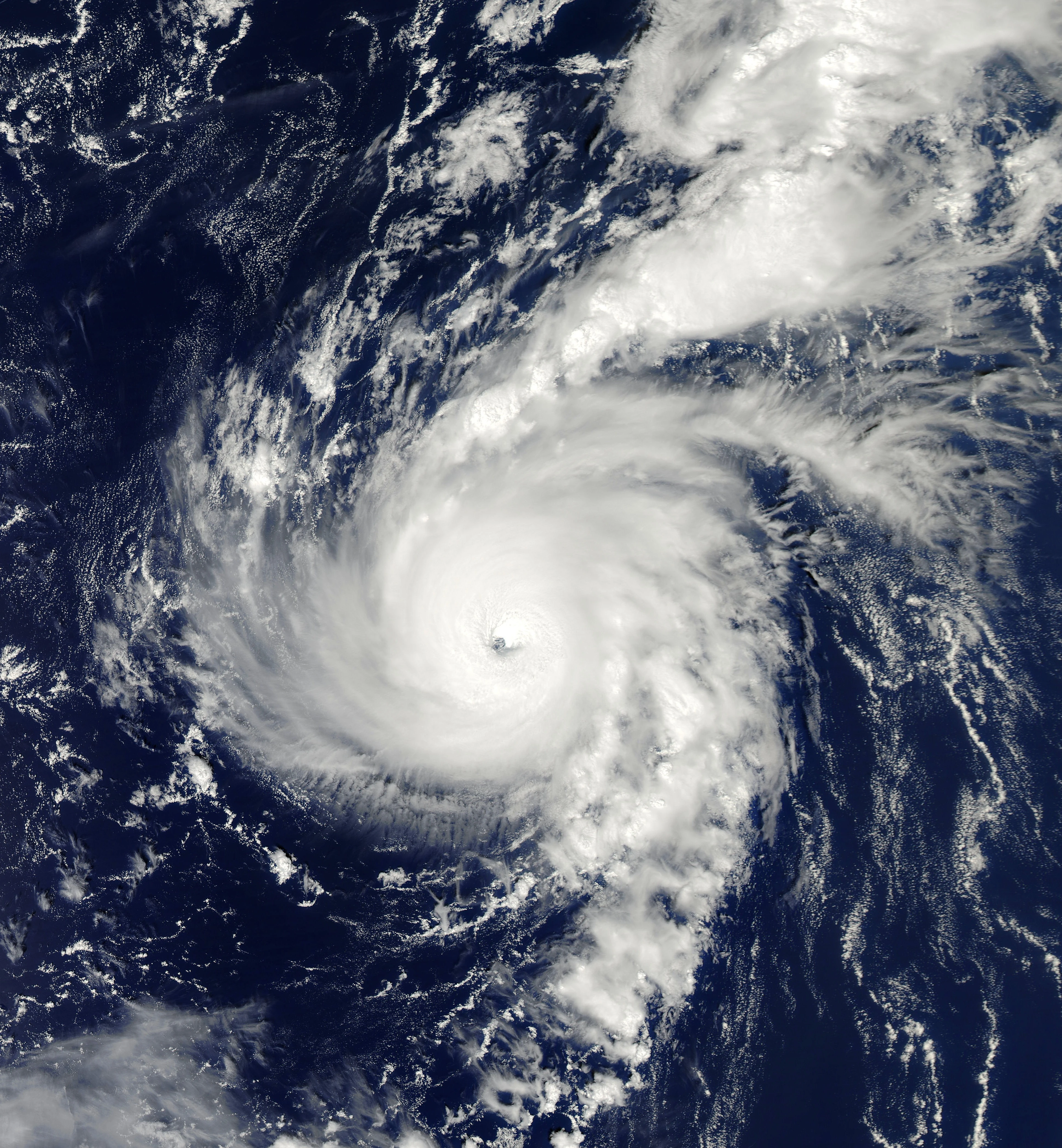
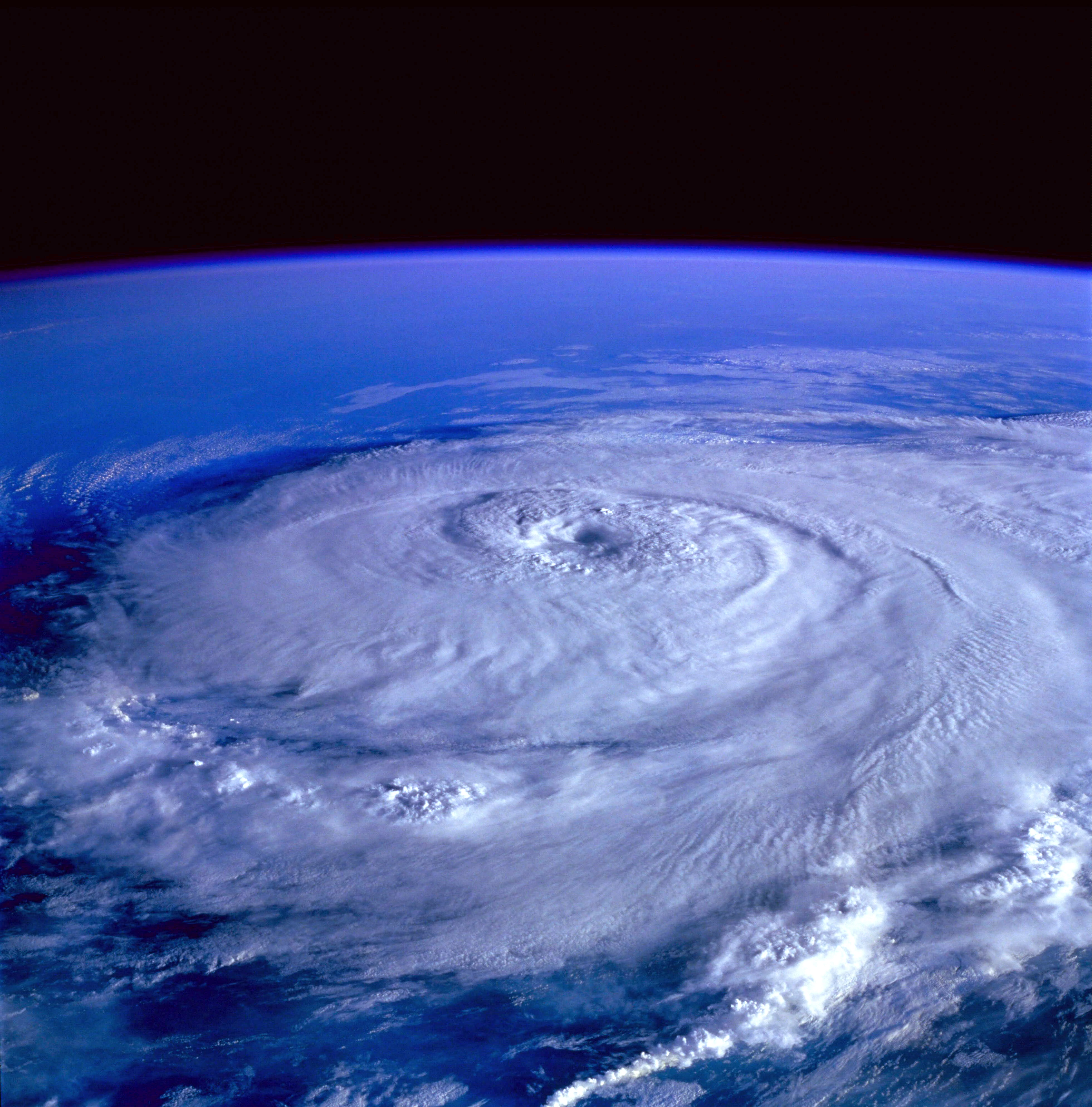
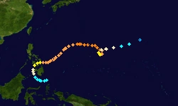
The 2013 Pacific Typhoon Season was one of the most active seasons on record. Entire countries such as China were submerged. Many records were broken, such as the earliest major cyclone EVAR!
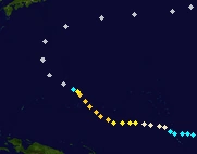
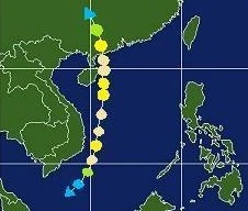
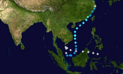
Became Tropical Depression Sonamu on January 6. It was then upgraded to Sonamu on January 7. It dissipated in Visayas, Philippines on January 10. Sonamu killed 4 people due to flash floods for 2 days.
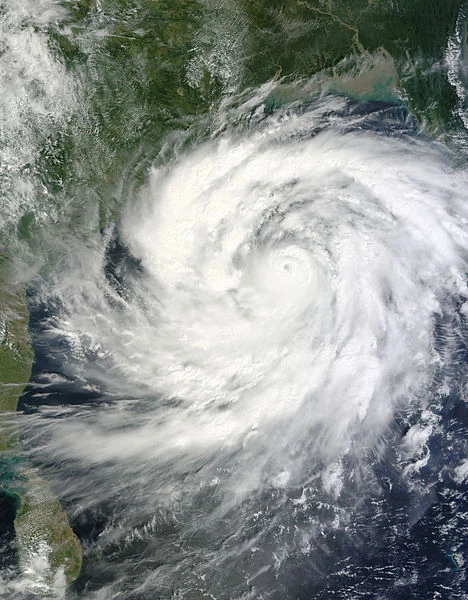
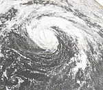
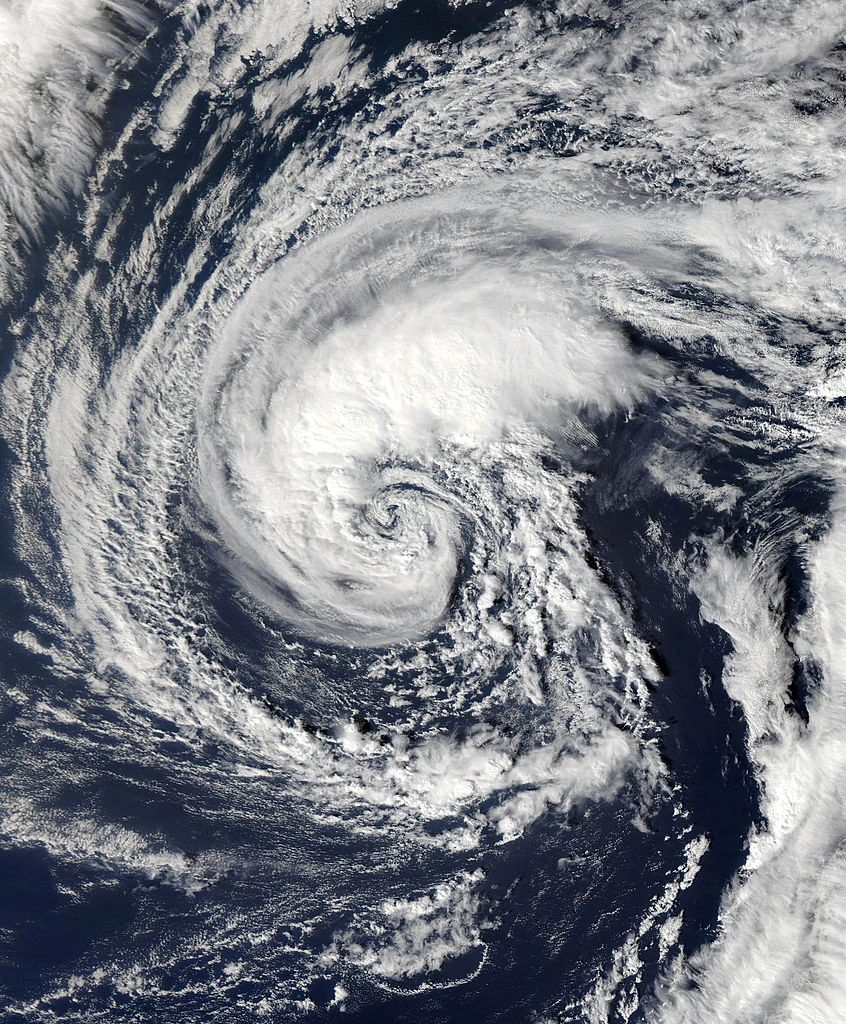
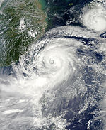
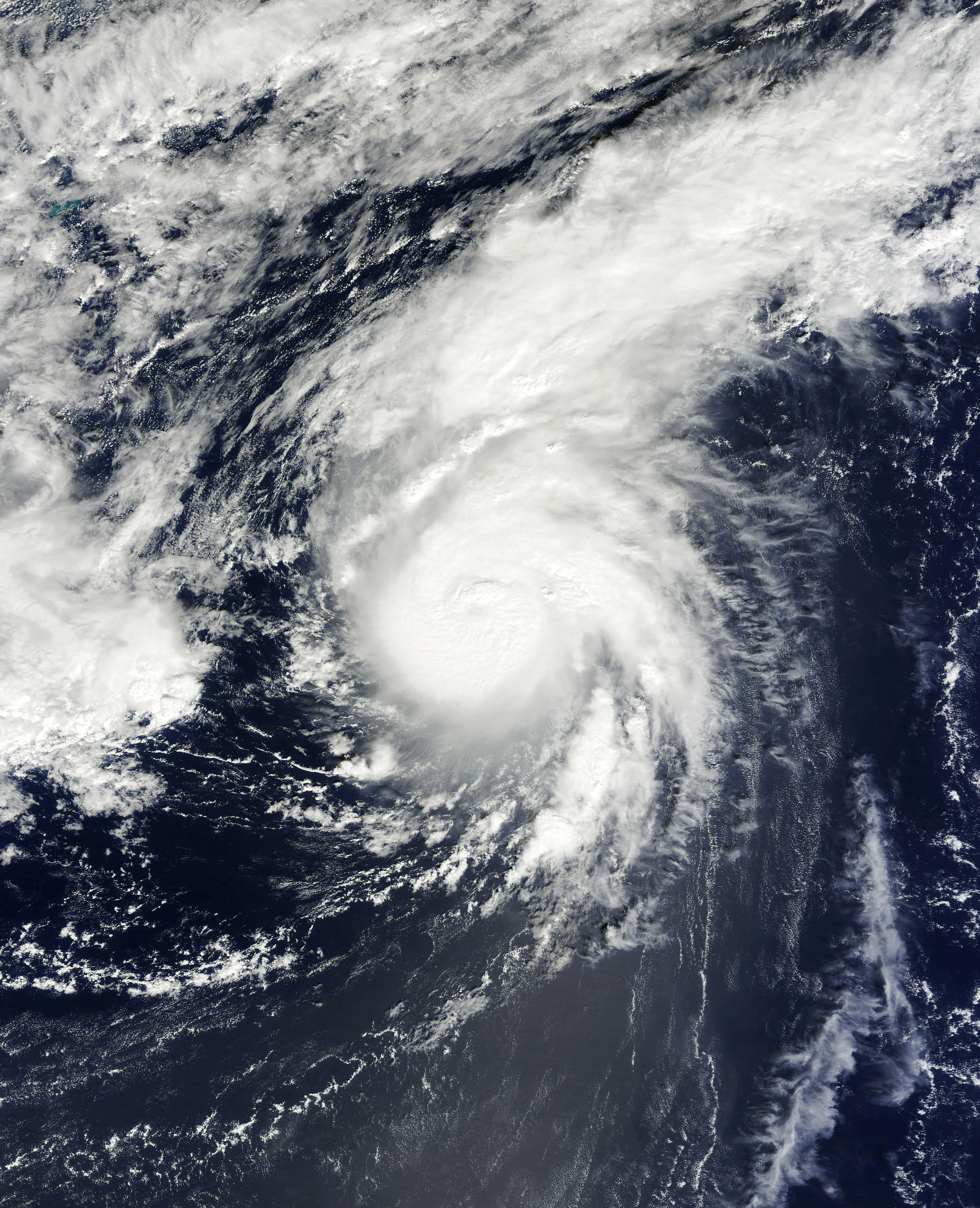
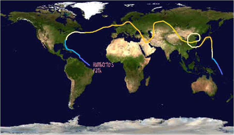
This storm went everywhere. The hyper storm formed in the South Atlantic on January 20. Just like a reverse storm, it entered the North Atlantic Basin, naming it Andrea on January 30. It killed 155,000 in total in Europe during February 5 to 13. The storm went south to the Indian Ocean basin on February 18, killing 136,000 people in total there. It entered this basin on February 27 as a Category 4 super typhoon. It then crossed the basin to the east pacific basin, naming it Alvin on March 12. It finally dissipated in Alaska-California on March 25.
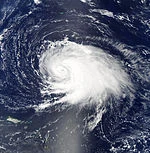
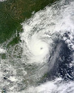
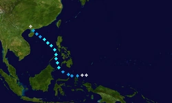
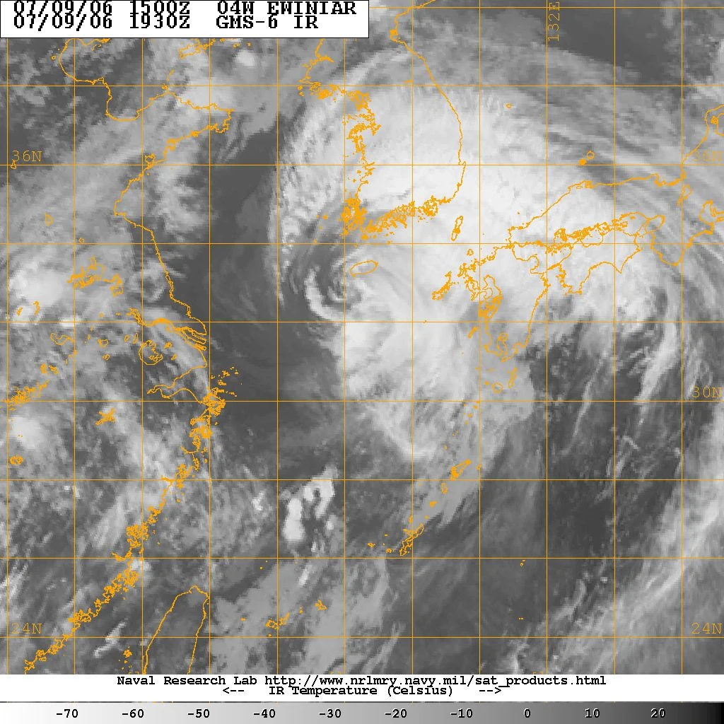
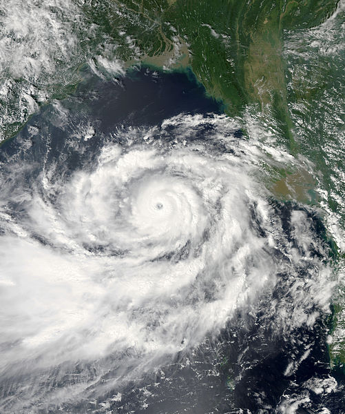
Tropical Storm Usagi formed on March 23 under an upper level high. On March 27, it reached near the equator and became a strong typhoon. It hit the Philippines on April 1 and 2 with 925 people dead as a Category 4 typhoon. In the Philippines, damages topped up to P32.5 billion ($728 million). It dissipated on April 5, due to cool waters.
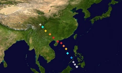
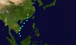
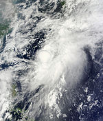
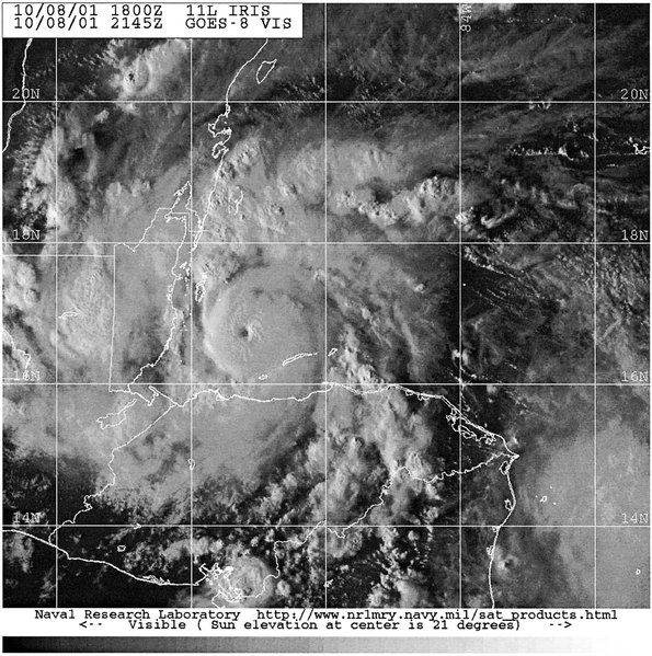
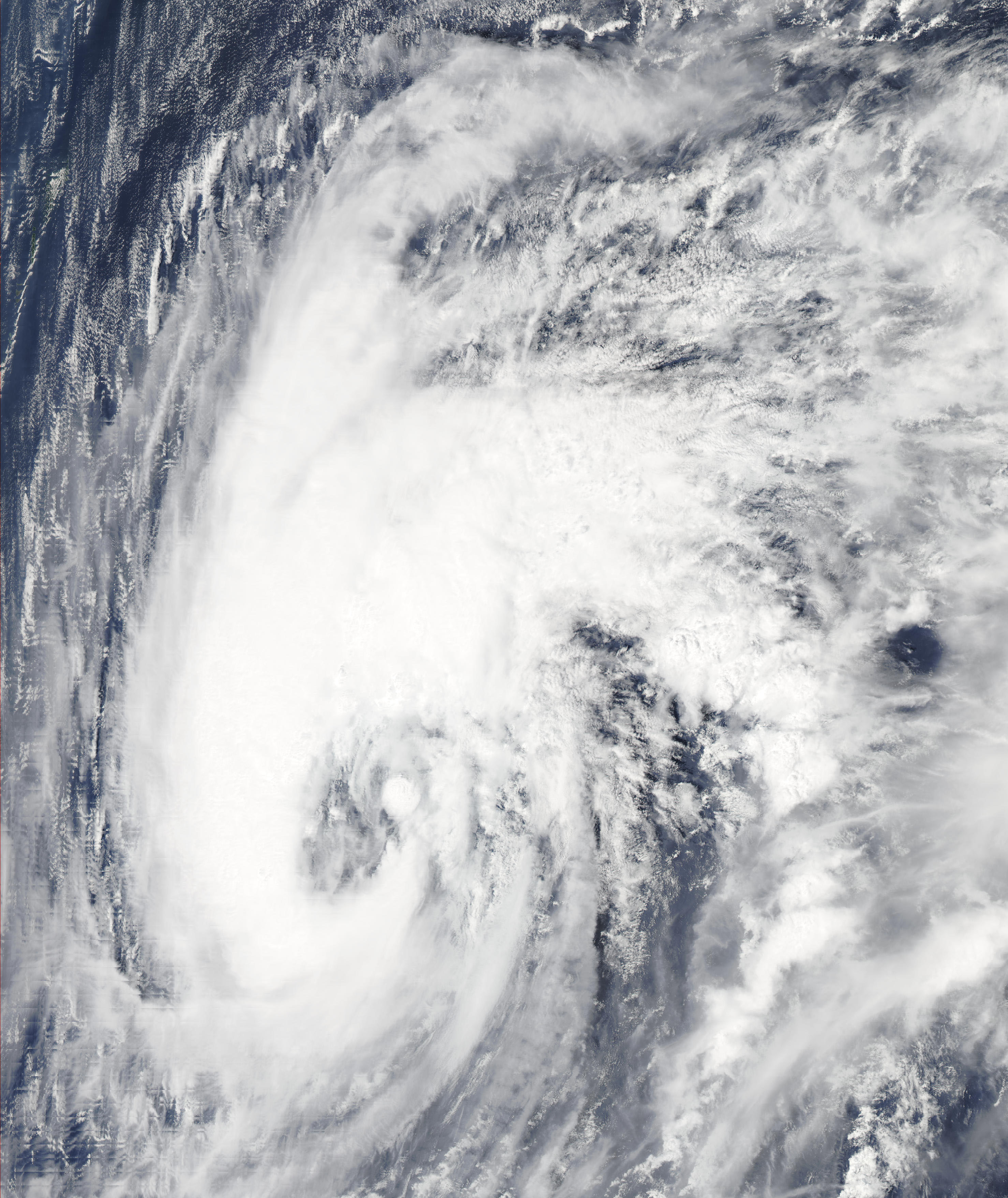
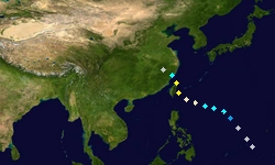
Due to strong El Nino from January, a rapid intensifying low pressure formed over warm waters over late March 28. It was upgraded to a tropical depression and a tropical storm on March 29. On April 1, it became a typhoon as a Category 2. It entered the PAR, naming it Labuyo and became a Category 5 hyper typhoon on April 8. It finally dissipated on April 17. During its lifecycle, it killed 24 people and gave the letter L instead of J in the PAGASA, because of Jolina forming in the PAR during March 31.
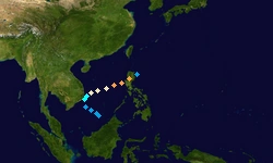
Tropical Depression 13W formed on March 30 and was named Kiko by the PAGASA on March 31. It became Typhoon Kong-rey on April 1. On April 4, Kong-rey reached peaked intensity as a Category 3 typhoon. It weakened to a depression on April 9, killing 15 in China.
Formed in the Pacific Ocean on March 30, from the outflow of Super Typhoon Trami. It was then designated as 14W and Rapid deepening occurred to a Category 4 on April 5. It dissipated in Mindanao, Philippines on April 14 with 1 dead reported.
A disturbance formed due to Typhoon Yutu and Typhoon Trami close together. It became tropical storm Toraji and Maring on April 8 and dissipated on April 10. Its track is the same with Mangkhut in the last several weeks.
15W formed from the large extratropical storm Trami on April 22 and became Man-yi on April 23. It became a minimal typhoon on April 26 and became extratropical on April 28.
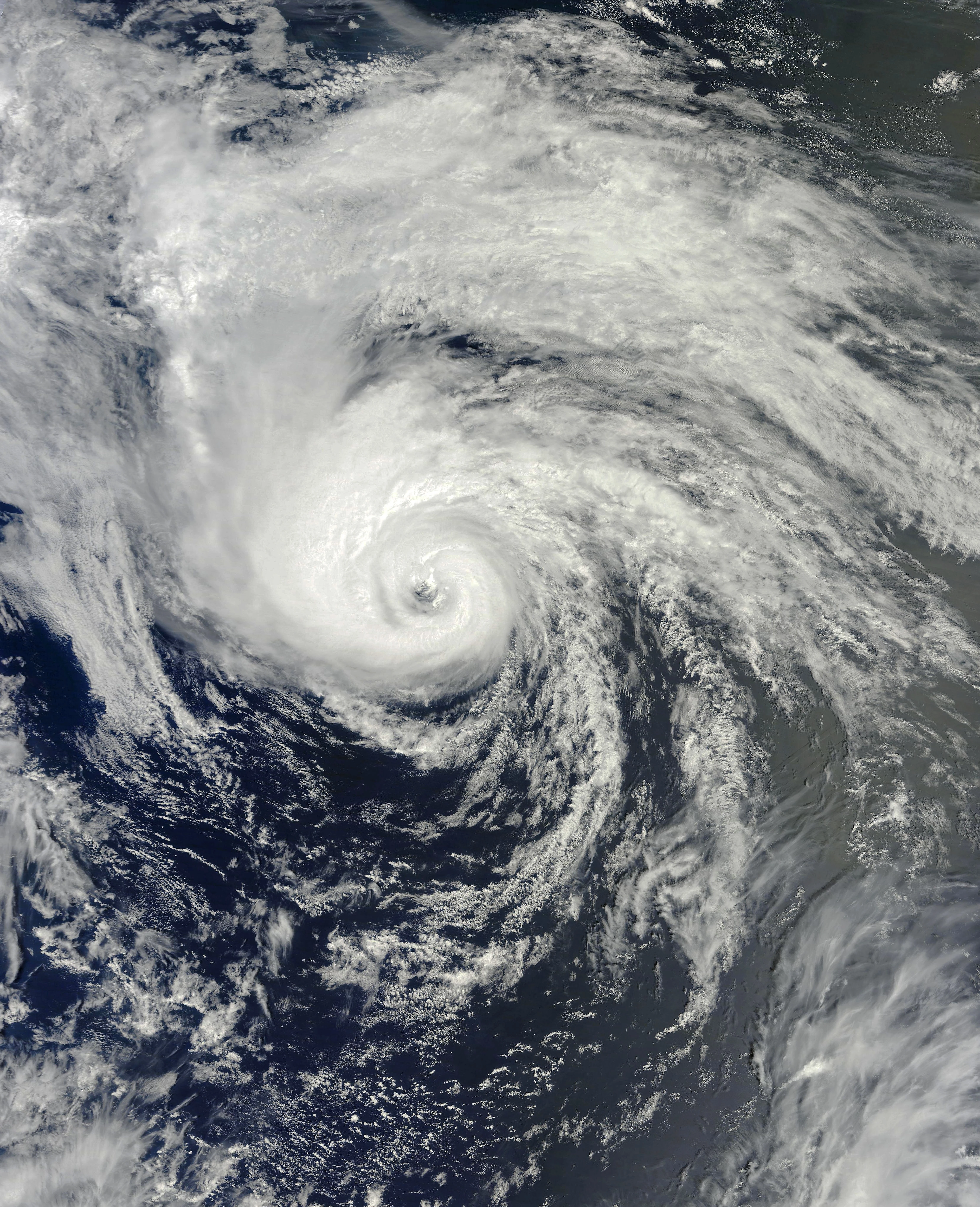
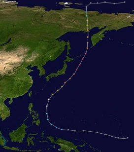
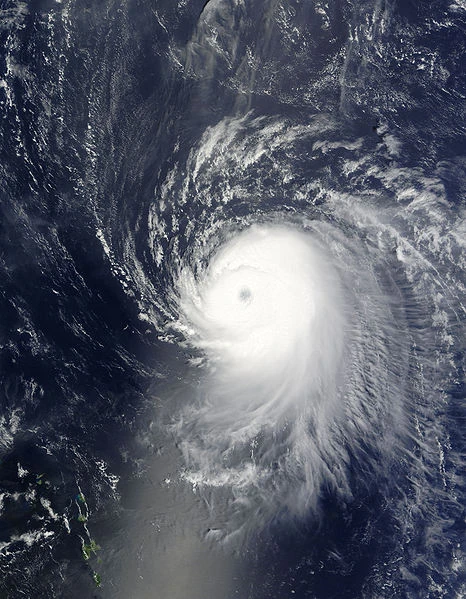
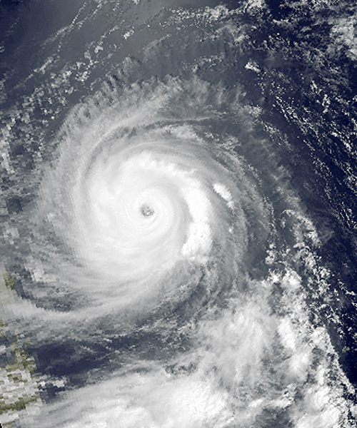
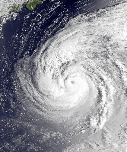
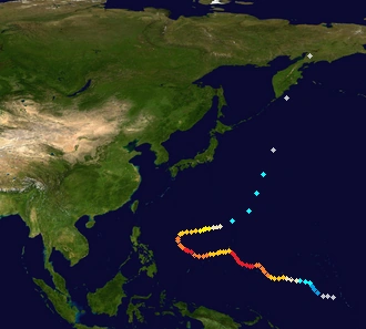
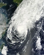
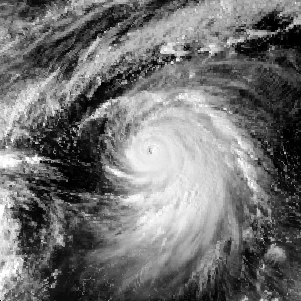
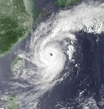
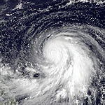
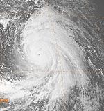
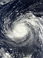
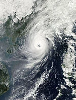
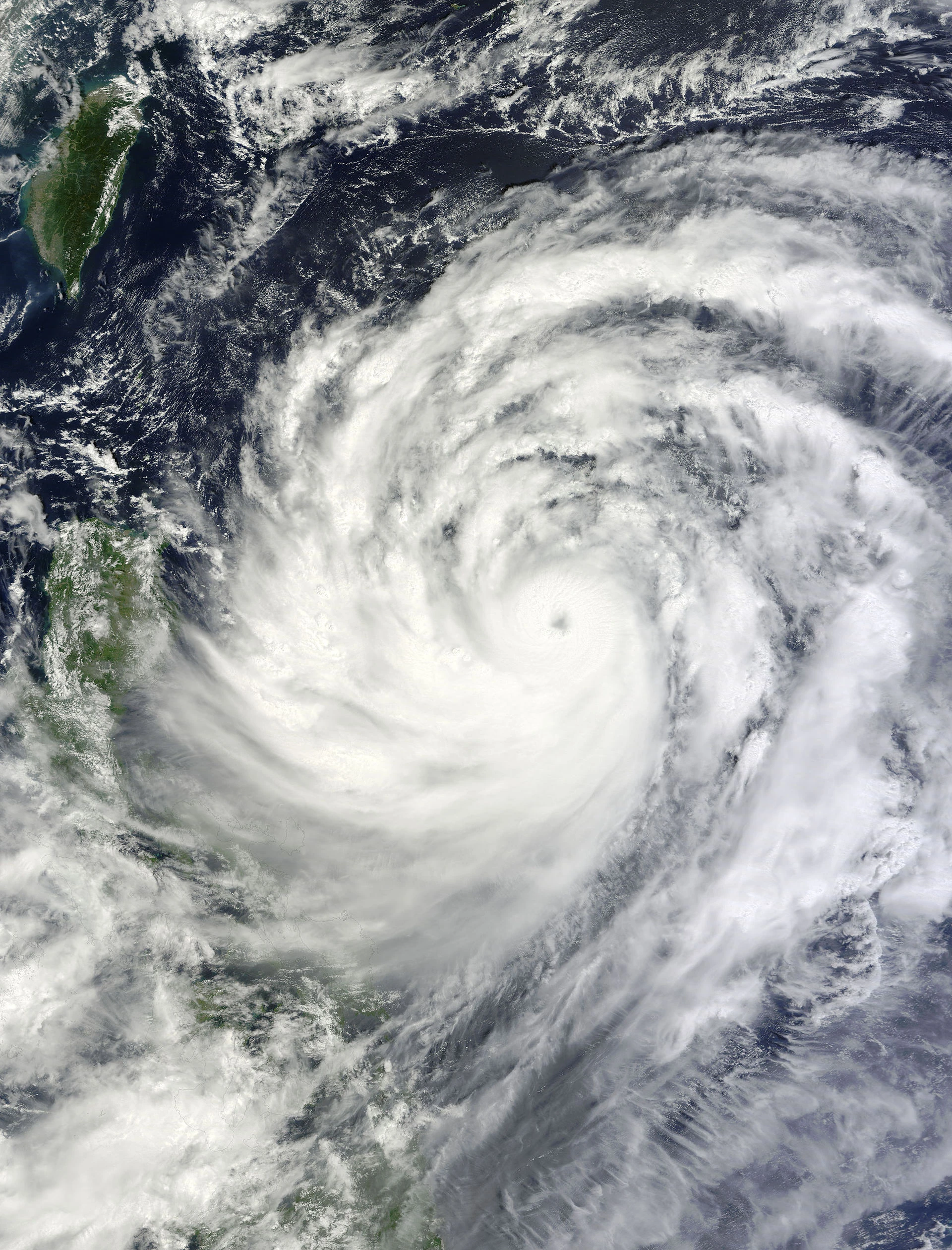
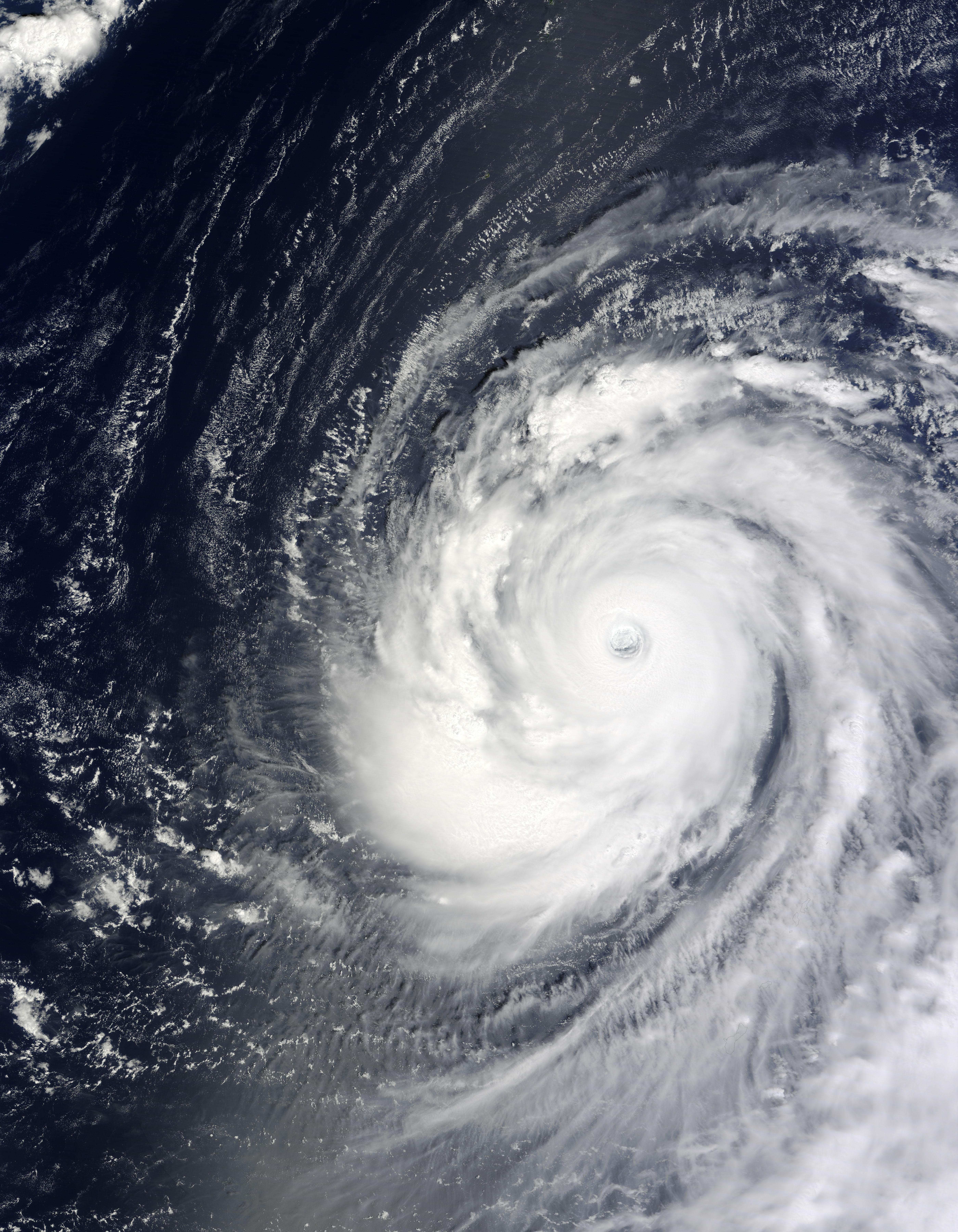
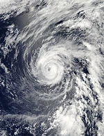
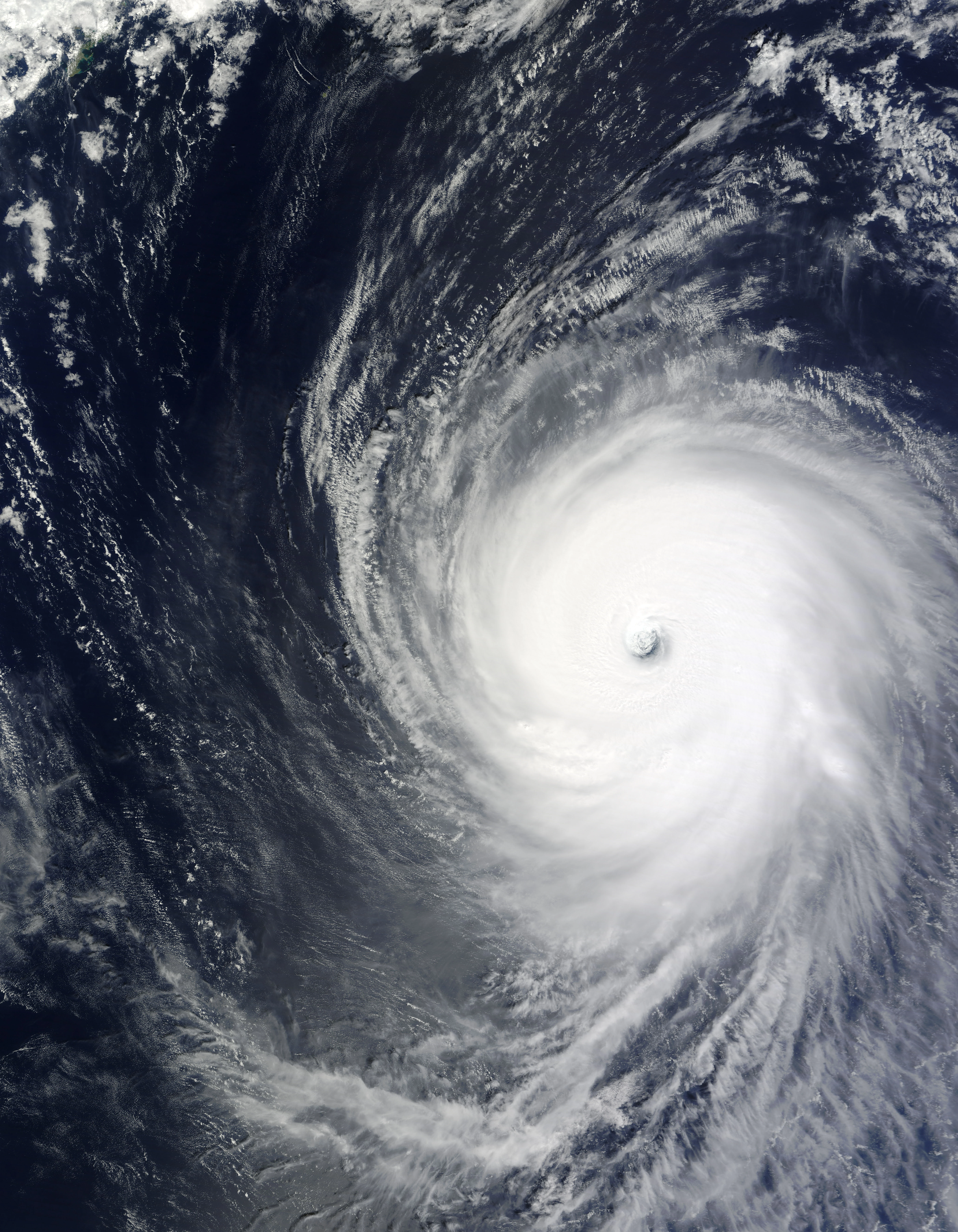
Super Typhoon Usagi[]
Typhoon (JMA)
Category 5 super typhoon (SSHWS)
Duration
May 6 – June 2
Peak intensity
1852000000 km/h (1151000000 mph) (10-min) 2000 hPa (mbar)
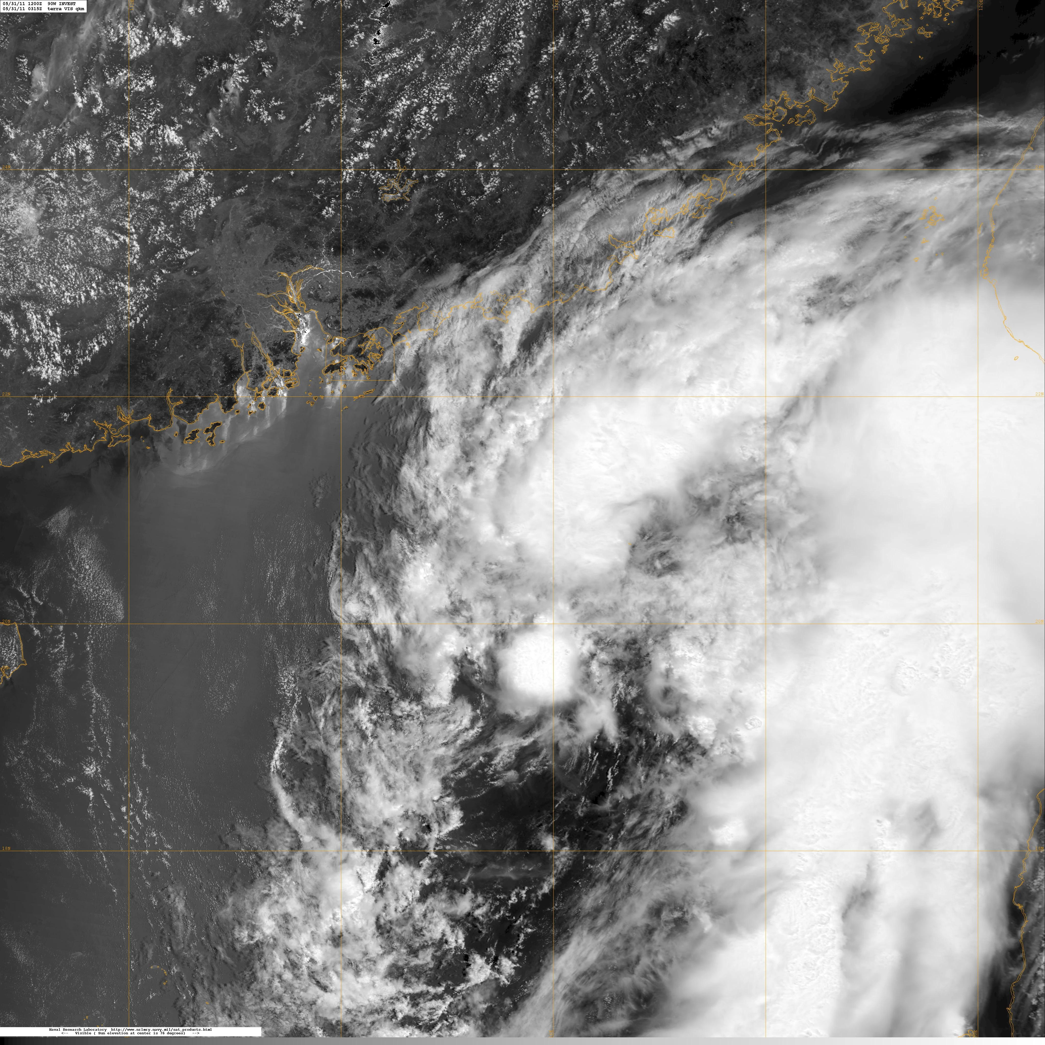
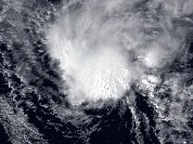
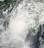
Tropical Depression 16W formed on April 30 and became Usagi on May 1. It crossed the basin on May 2. Usagi is a storm that sunk a boat in May
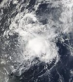
Pabuk formed on May 15 northeast of Taiwan. It spawned several tornadoes on Taiwan on May 19. During its lifecycle, it killed 26 people and damages topped up to $1,200.
During it`s Lifer Time It earned the tad name Brucey
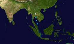
A very small broad circulation formed on May 16 south of Palau. It intensified to 19W on May 20 and entered the PAR on May 21 naming it Nando. It affected land, but no casualties and damages reported. It dissipated to an over land low on May 22.
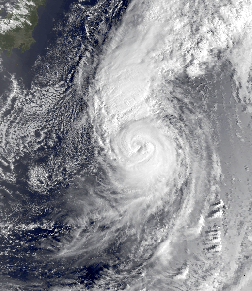
The extratropical transition of Humberto in the Atlantic Ocean entered the went pacific basin on June 11. It dissipated like a reverse storm on June 21 and reached peak intensity as a Category 3. It made $255 million in damage and killed 156 people in China.
Another system formed in the Pacific and it became Typhoon Bruce on June 19. Rapid deepening occurred and became a Category 4. During its lifecycle, it killed 61 people in Japan, due to heavy snow fall.
Krosa formed from a disturbance on June 9. It hit China on June 15 as an extratropical cyclone. On June 18, it was upgraded to a tropical storm, naming it Krosa. It dissipated on June 25 as a bomb cyclone. 2 dead were reported and the damages were unknown.
A rapid forming disturbance became Tropical Depression Santi by the PAGASA on June 22. It became an extratropical typhoon on June 26, interacting with Hyper Typhoon Haiyan. On June 27, it became a Category 3 typhoon and weakened on June 29. It dissipated near Siberia on July 4. In post-analysis, the JMA ant the JTWC upgraded it to a Category 5 typhoon on July 27, 2020.
Tropical Depression 31W formed from a long-lasting tropical wave which formed on May 25. Due to warm waters, it became Super Typhoon Lingling as it impacts the southeastern countries in Asia on June 29. 1,245 people were confirmed dead and damages topped up to $6.7 billion. On July 1, it weakened due to the interactions of Hyper Typhoons Haiyan and Podul. It was then absorbed by larger Typhoon Podul on July 2.
Tropical Storm Peipah formed east of the Philppines on July 22. It became a Category 5 storm on July 27 as it was announced that it became an annual super typhoon the next day. It dissipated on August 5 over China, and made very severe damage over in China, Mongolia and Japan with very strong winds. 141 people died in total and damage loss was $15 billion total. Severe blackouts were reported and lasted until September 2. The JMA radar was then closed until early-September, due to the strong storm. Because that the JMA has no radar, they gave permission to the JTWC that to name the next storms from the WMO in the next month.
A Tropical Depression formed near the International Dateline on July 31. On August 4, they upgraded it to a Tropical Storm. The next day, the JMA lost everything with the radar due to Typhoon Peipah and classified Hagibis as a Tropical Storm. Hagibis reached peak intensity on August 6 and became extratropical the next day.
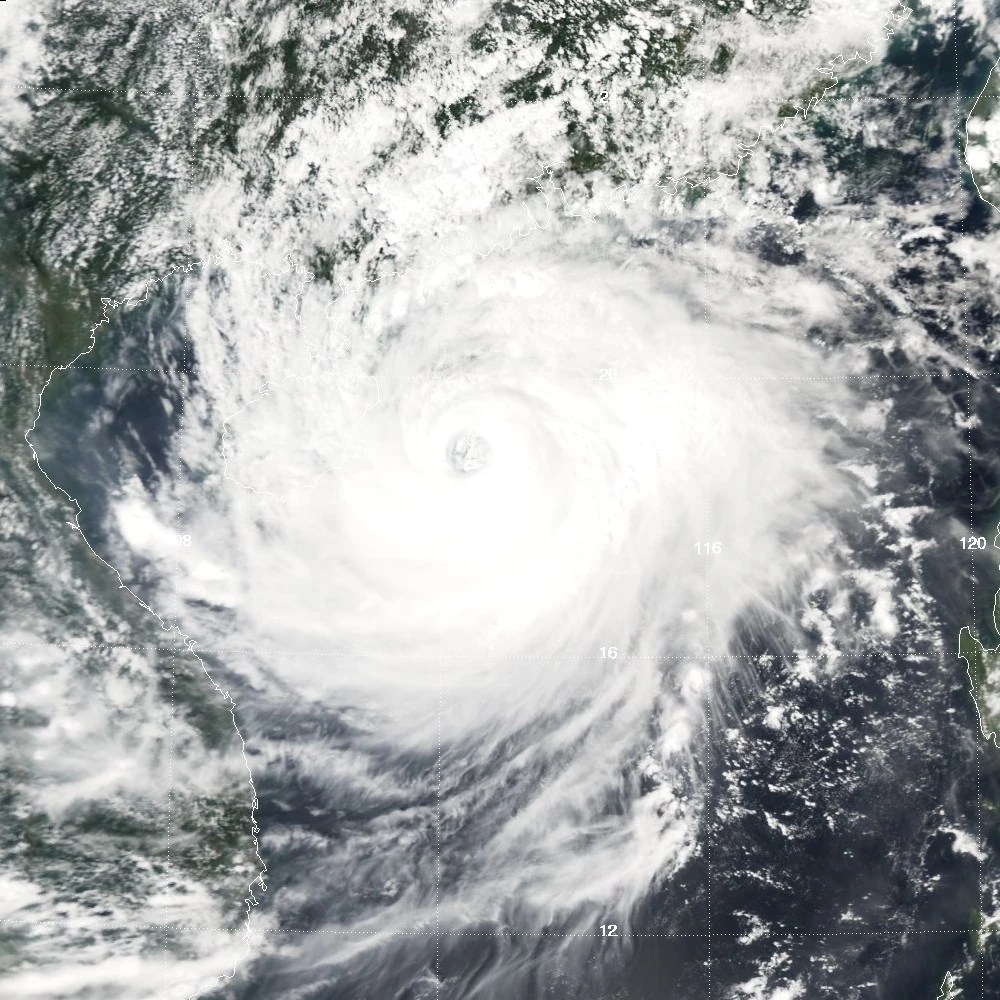
A large disturbance formed on August 12. It became Tropical Storm Rammasun and 39W on August 15. It impacted the southern Philippines as a minimal typhoon and killed 1,112 people. Rammasun weakened to a tropical storm and impacted the northern part of the Philippines on August 19, which killed another 233 people. It became a super typhoon and impacted western Japan killing 1,293 people, due to blackouts from Typhoon Peipah last 2 weeks. It became extratropical on August 25 and crossed the 180th meridian on August 27. Total damages were $13.5 billion and 2638 people died.
A broad low pressure formed and became Tropical Depression 40W and Yolanda on August 19. It rapidly became a Hyper Typhoon, naming it Matmo. It impacted China on August 23- 26. 821 people had died but the damages are unknown.
Strong vertical windshear caused Disturbance 92W Invest form to Tropical Depression 42W on August 23. It stayed there gathering some warm waters and convection. It became Tropical Storm Nakri on August 28. 15 people had died due to strong winds. Just like typhoon Halong, the JMA tracked September 2 until September 15
A cluster of thunderstorms formed to be Tropical Storm Phanfone on September 14. It was then later designated 49W by the JTWC and Ernie by the PAGASA. Convection increased, but Phanfone's circulation became exposed, as it later became a Severe Tropical Storm. On September 18, it became a Category 2 typhoon, impacting Vientnam with very extreme strong winds killing 995 people. It finally dissipated on September 22 and bringing tornadoes in Cambodia during September 23 to 26, killing another 223 people.
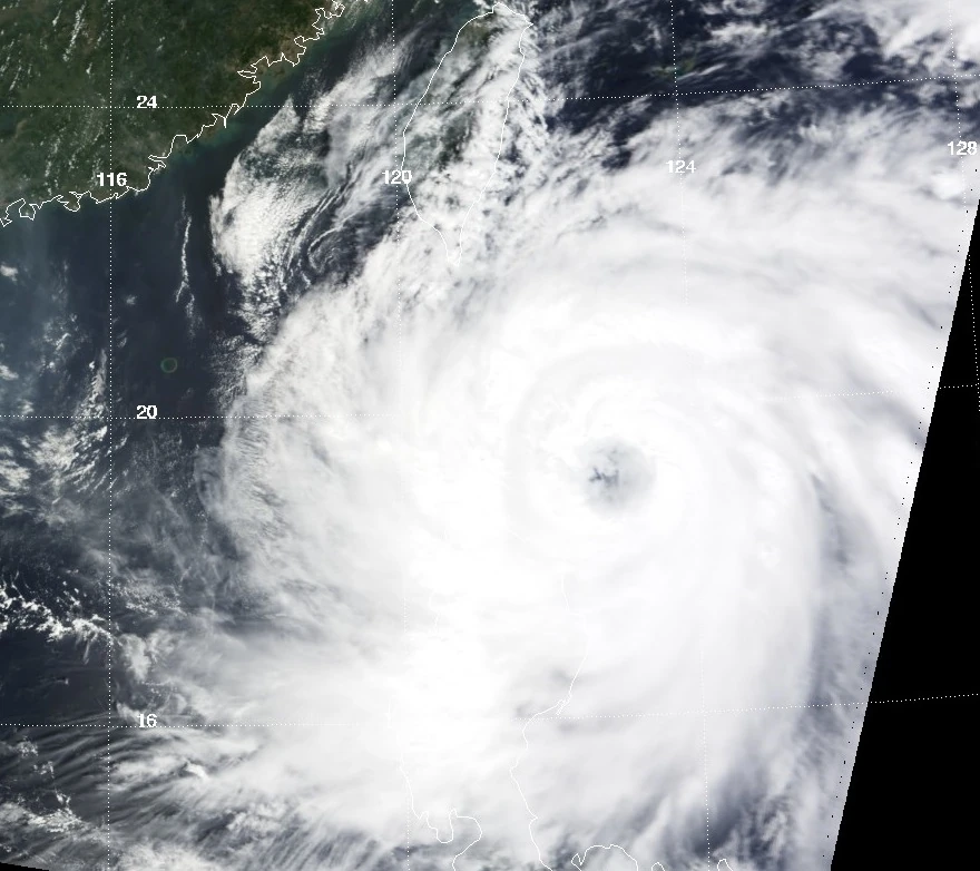
Formed as Tropical Storm 50W on September 14. It gathered some strength until September 17 and rapidly became a Hyper Typhoon the next day. It impacted China on September 29 as a large Category 3 typhoon and killed 196,000 people and damages up to $1.9 trillon.
A small tropical disturbance formed and became Tropical Depression Gerardo on September 16. It was then recognized by the JTWC and designated as 51W, the next day. Later that day, it weakened to a disturbance and became Typhoon Sinlaku and Hernan on September 23.
Sinlaku formed from the remnants of Tropical Depression Gerardo. Due to severe damages and fatalities in southeast Asia from Typhoon Phanfone, it doubled to 1,345 people dead and $155 billion damage loss.
Formed from the outflow of Hyper Typhoon Vongfong, near the International Dateline. Rapid deepening occurred to a Category 3 typhoon as it dissipated near the International Dateline again on September 29. Its remnants crossed it on September 30 and very fully dissipated on October 4.
Just from the remnants of 57W, it degenerated into a depression, giving it the number 59W on October 4. It moved northwest into the 2 fujiwhara interactions of Higos and Bavi. Smaller 59W was then absorbed by larger typhoon Higos on October 8.
Just like the same track with Typhoon Sinlaku, a month ago. This is storm is the first time to have a Category 5 storm in the south china sea, since Typhoon Vicente in 2012 as a Category 4.
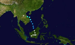
Typhoon Haishan formed as a Tropical Disturbance from a tail-end of a cold front. It became a typhoon on October 4. Haishen entered the PAR but wasn't named by the PAGASA because of entering it with only 3 minutes. On October 5, it weakened to a Tropical Storm and later that day it became a Category 4 typhoon, impacting Japan on October 12. It killed 521,000 people due to power outrages. With that the problem, the JMA cannot track and name the next storms, just like Typhoon Peipah. It continued and ended on October 21.
Tropical Storm Dolphin was a very fast storm, due to a small high pressure ridge developing. It wasn't named as Jerome by the PAGASA, but it was classified as an ALPA (Active Low Pressure Area). It dissipated on October 12 as it was absorbed by Typhoon Noul.
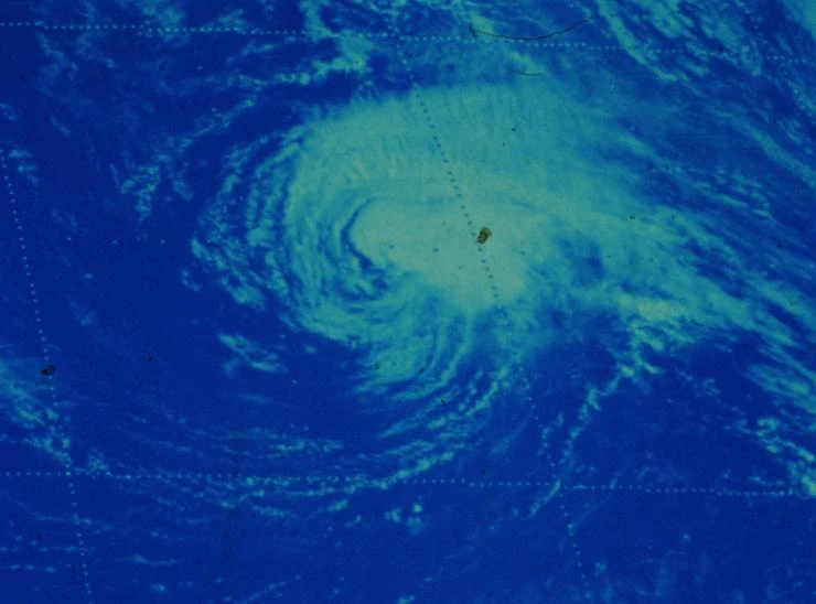
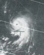
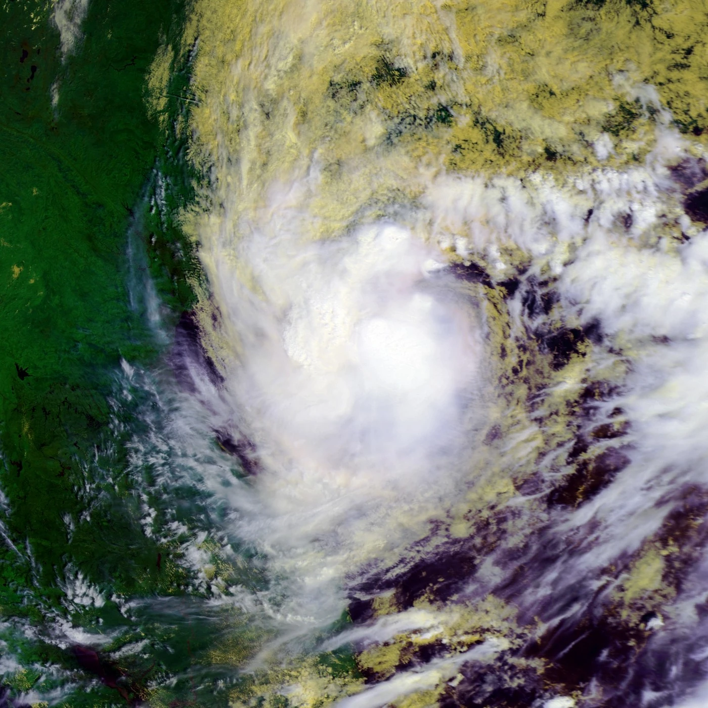
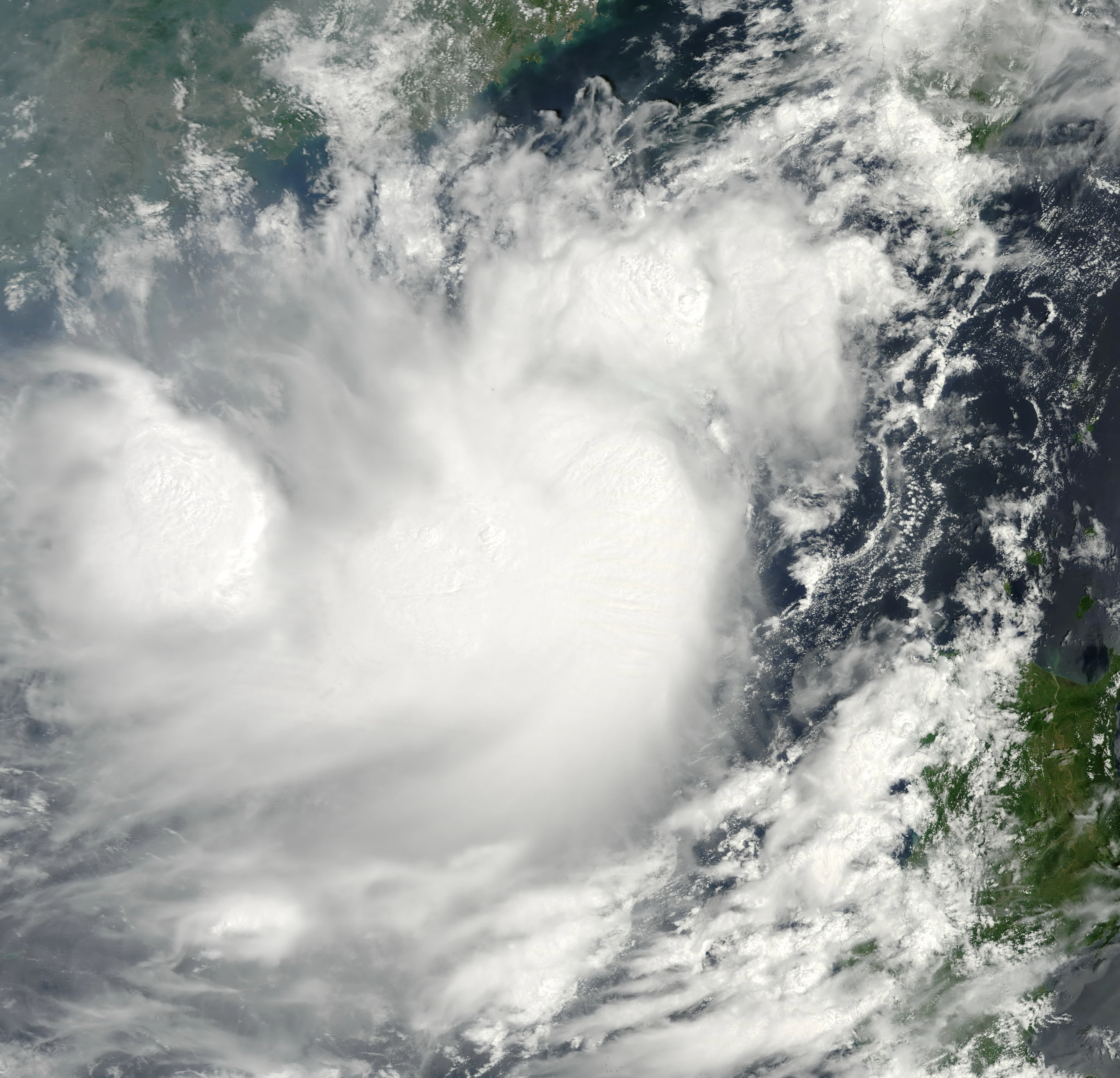
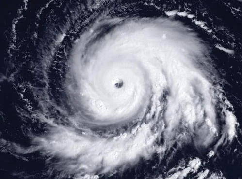
There was no picture of a satellite track and Kujira from space, due to the very strong winds and a very low pressure which killed 15 billion people and damages were $2 quadrillion.
Nangka formed in the International Dateline on October 23. It became a Severe Tropical Storm, but not a typhoon. On October 26, it started to weaken as a tail-end of a cold front absorbs the system and dissipates very early on October 28.
A Category 4 Typhoon Molave formed over the south part of the south china sea on October 25. It killed 2,025 people in total. During October 27, Molave intensified another depression which became Typhoon Atsani.
Tropical Depression 81W (Lakay) formed on November 18. It became a tropical storm, naming it koppy on November 20. It impacted the Philippines during November 21 to 22, killing 18,942 people. Damages were unknown, but it was massive. It weakened to a depression on November 23 and a storm again on November 24. It finally dissipated on November 26.
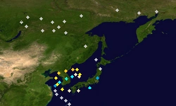
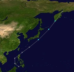
Tropical Storm Conson formed northeast of China on November 27 as a cluster of thunderstorms. It reached peak intensity on December 2. Impacting Japan as a Category 3, it made an eyewall replacement cycle and then an annular typhoon on December 5. It finally dissipated very late the next day.
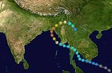
It came from a cyclonic storm in the indian ocean basin, which formed from Typhoon Omais on late-November. It degenerated to a typhoon and named it Dianmu and Paring. It finally dissipated on Japan on December 11.
2.2864197329202E+25 km/h (1.4209876417879E+25 mph) (10-min) -INFINFINFINFINFINFNFINFINFINF hPa (mbar)
This formed in the same way as super mini black hole Thomas except it formed on September 1, 2001. It crossed into the basin this year on December 12 and caused over one tranquility dollars in damage. It crossed the basin on January 26, 2014. Because of another mini black hole, the JTWC gave its designation 97W.
Mini Black Hole Lap-Pit (Alvainne)[]
Main article: Mega Mini Black Hole Anti Felix
Mini Black Hole
Duration
December 17, 2013 – March 14, 2014
Peak intensity
565786000 km/h (351630500 mph) (10-min) -1200 hPa (mbar)
It formed as an upper level vortex on December 15. It became more organized on December 16. It was then classified as a subtropical low the next day. It grew and became a subtropical storm on December 21. Because of creating a high pressure ridge, snowstorm and a super typhoon, more convection occurred and was classified as a mini blackhole because of a minimum pressure of 134 on December 22. It reached peak intensity on January 15, 2014. It finally dissipated as a snowstorm on March 14, 2014. This storm killed 129,000,000 people. The snow storm remnants shot southward into the southern hemisphere like a reverse system. 1 day later, it formed into a tropical storm, and soon, an unimaginable mini black hole, before being sucked into Anti Felix. Not before having The tag name Lag-Pit .
92W formed from a tail-end of a cold front on December 18. It was then enhanced by the Mini Black Hole on December 20. The next day, it had some extratropical and tropical characteristics, and made it a subtropical depression by the JTWC, as the JMA didn't recognized it. On December 23, the JTWC gave the designation 92W. It finally dissipated on December 29.
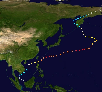
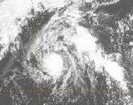
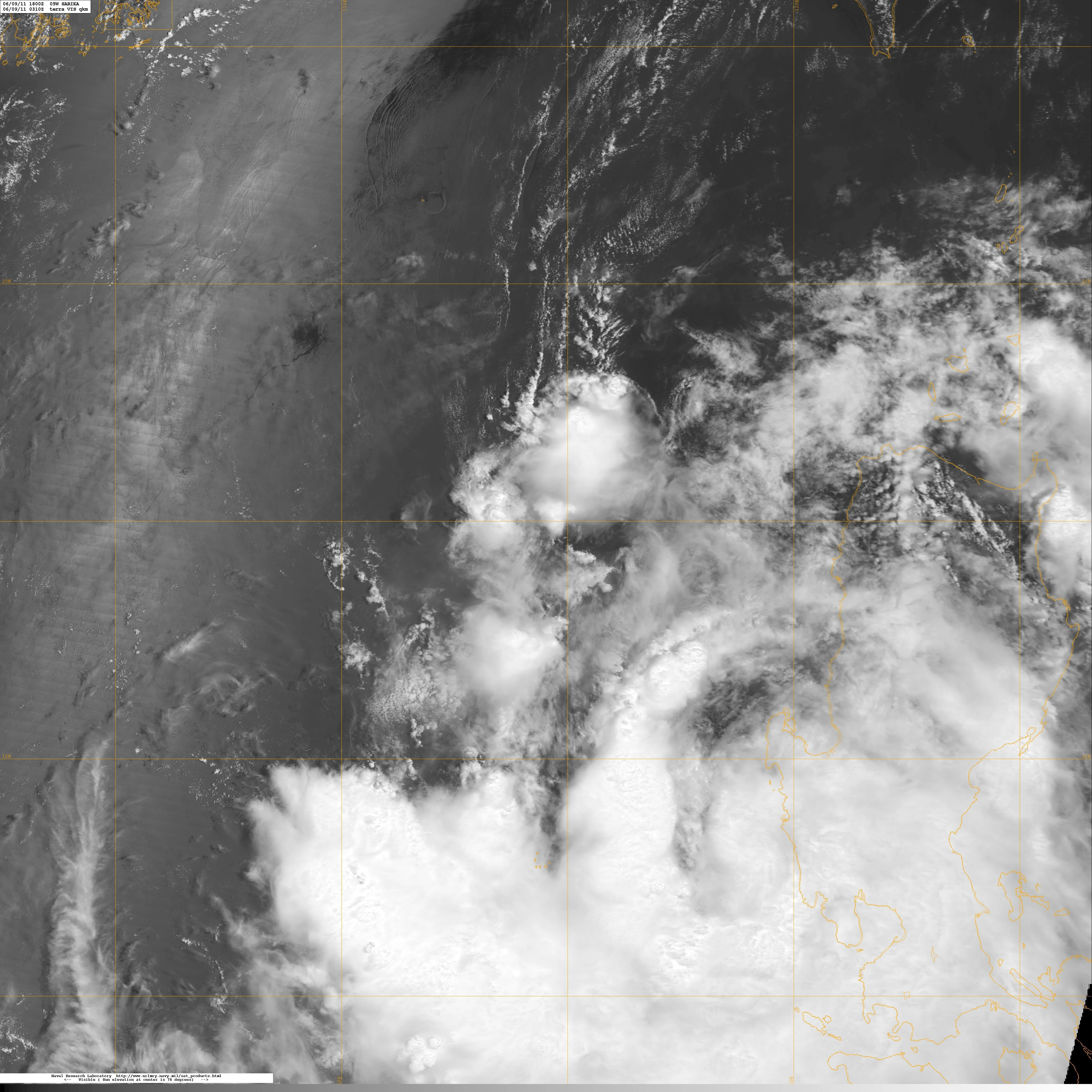
The last storm of the super active 2013 typhoon season formed on December 27, from the monsoon where the December 2013 parade of storms formed. It was given the designation 108W and naming it Sarika. It entered the PAR on December 29, giving the name Reming. It finally dissipated on December 31.
Retirement[]
The names that were retired they were nari Francisco SashanShan , Podul ,Yagi,and Sepat They were replaced by Narita France, Shadow, Poylop,Yangi,and Sert


