Disclaimer: The content on this wiki is fictional and NOT a resource for real tropical cyclones. NONE of this wiki's content should be taken as a real indication of inclement weather.
THIS SEASON IS NOW CLOSED. It's time to fill in the descriptions so we can chose the retired names. Feel free to add tracks and separate articles if you want.
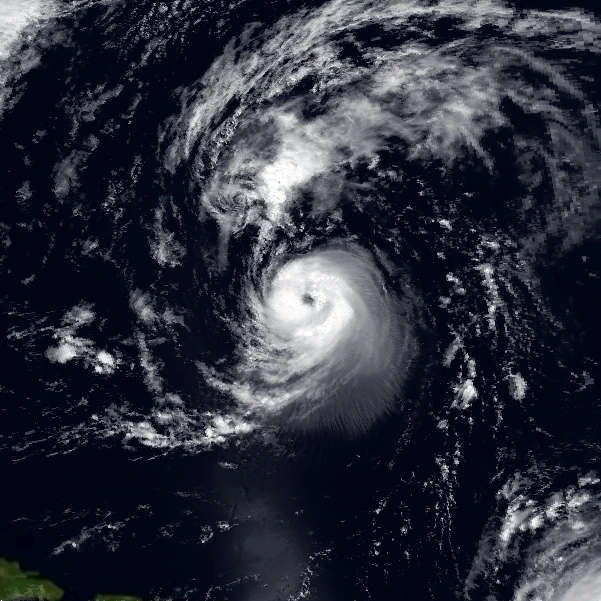
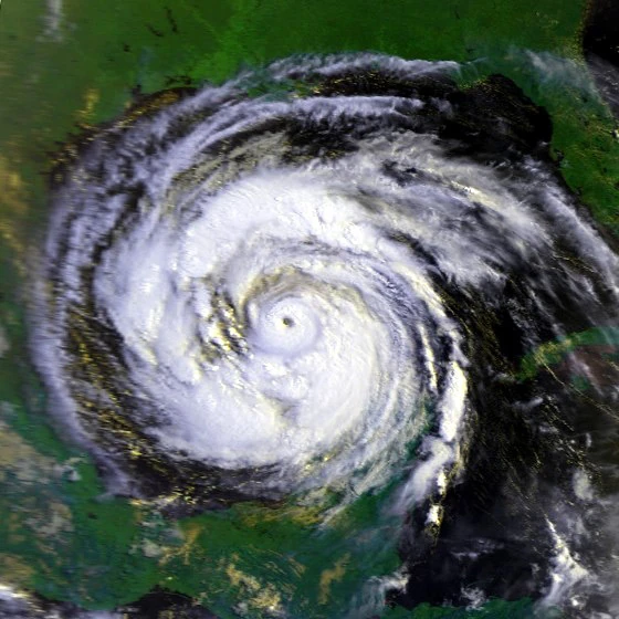
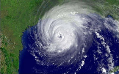
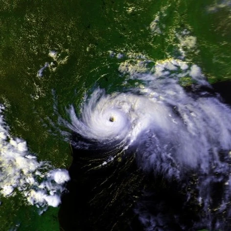
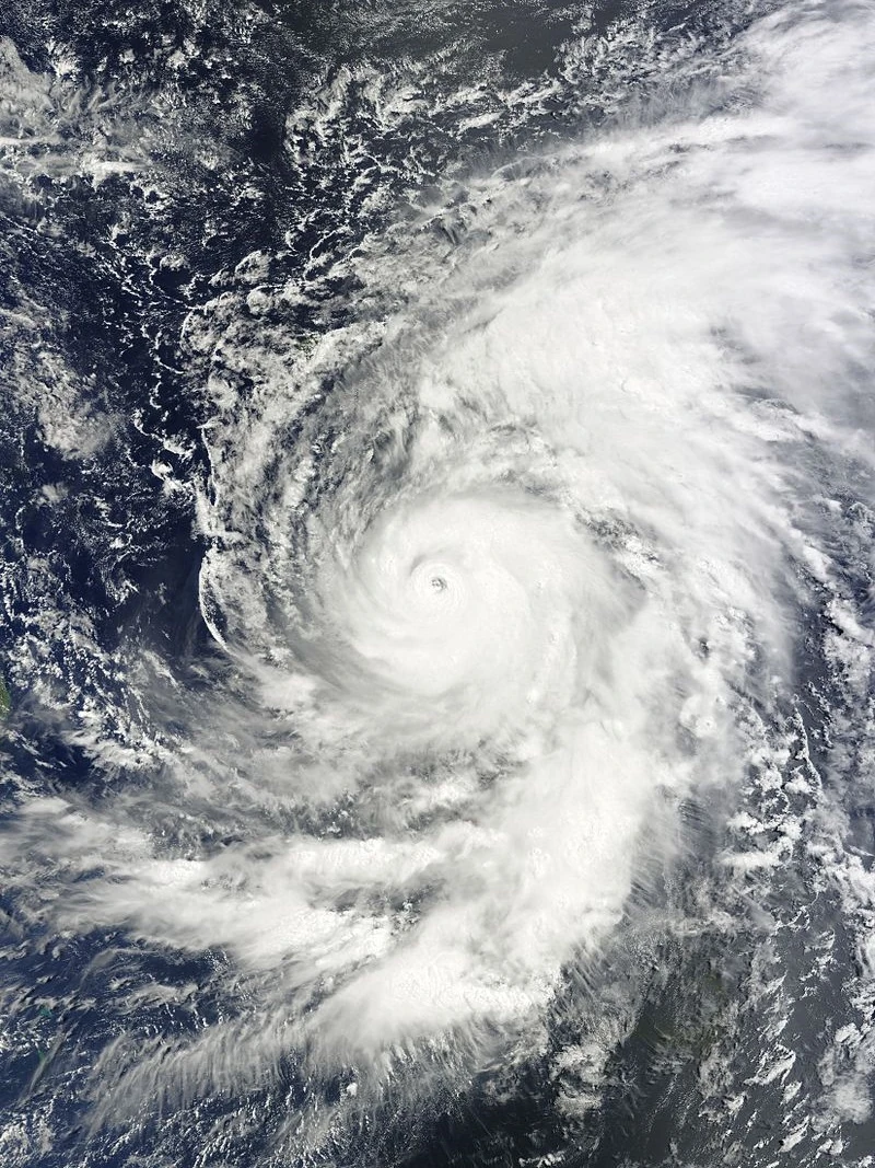
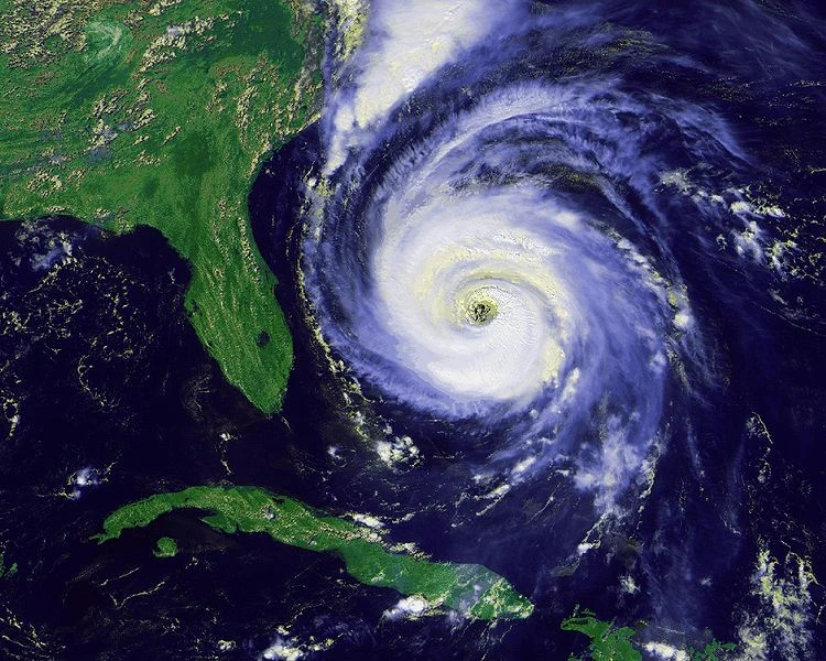
The 2016 Atlantic Hurricane Season was the second-most active Atlantic hurricane season since accurate record-keeping began in 1851. The season featured 24 depressions, including 21 named storms, 12 hurricanes and a record 9 major hurricanes. The strongest storms of the season, Danielle and Gaston, broke Atlantic wind speed and minimum pressure records. However, they weren't the strongest storms in history, though, in terms of pressure (Typhoon Tip had a minimum pressure of 870 mbar compared to the 875 of Danielle and Gaston). The season also included a record five category 5 hurricanes: Danielle, Gaston, Julia, Lisa and Richard.
On April 29, a tropical wave exited the coast of Africa, an extremely rare event for April. A Hurricane Hunters aircraft identified a closed circulation in the tropical wave on May 1, designating the system Tropical Depression One with winds of 35 mph and a pressure of 1011 millibars. Alex was notable for becoming the first May Cape Verde-type hurricane in history.
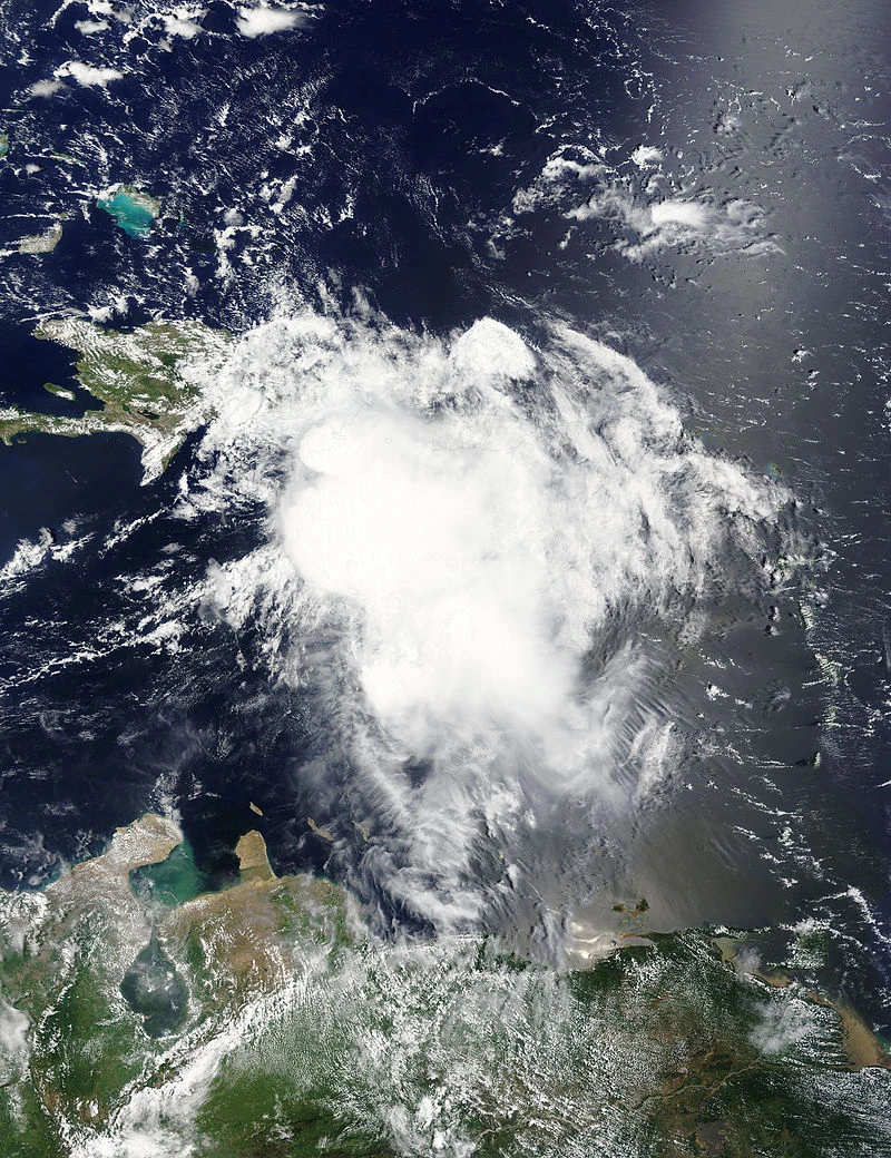
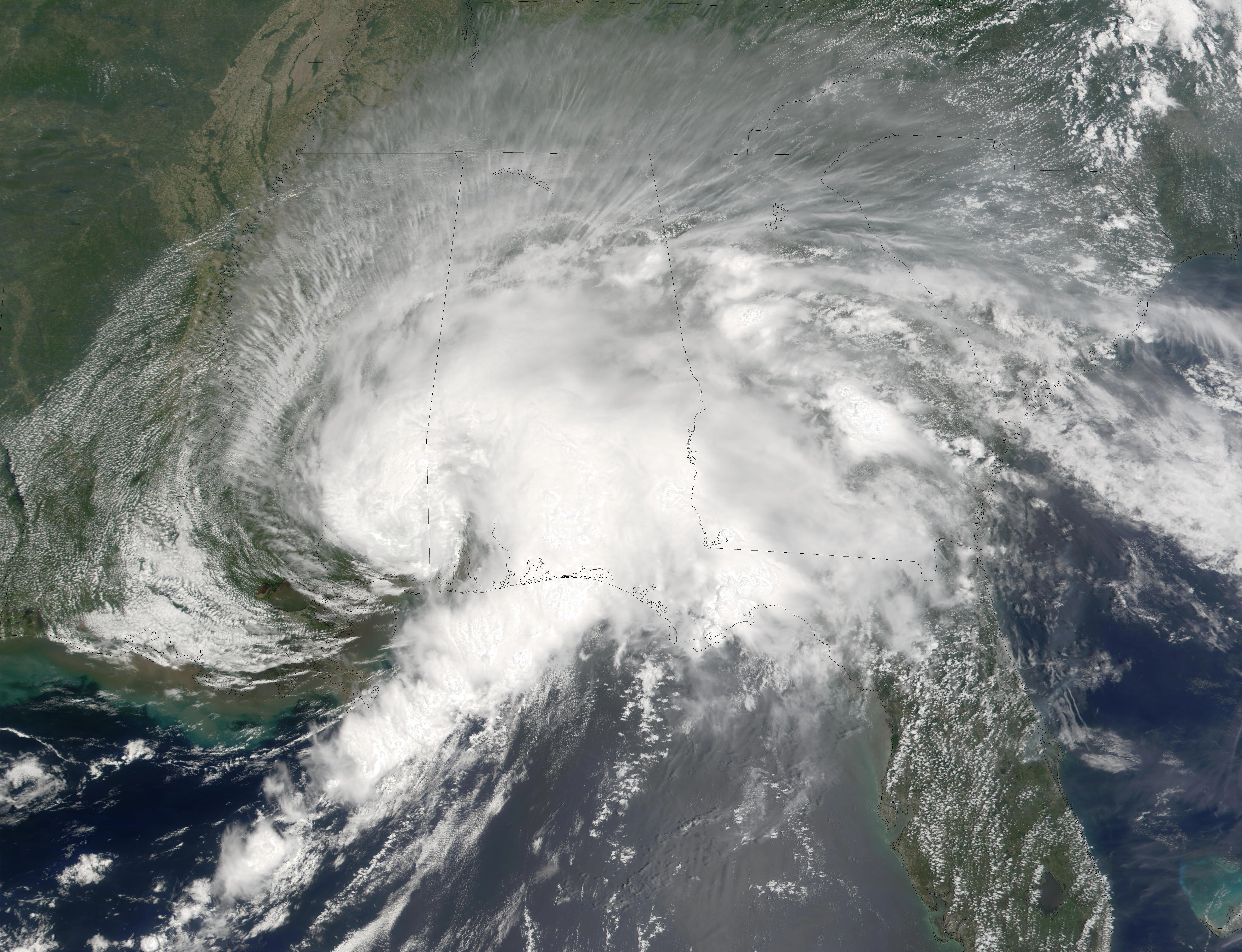
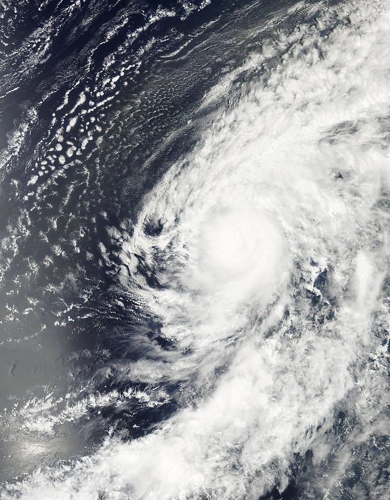
A tropical wave exited the coast of Africa on July 10. On July 12, Tropical Depression Six was designated about 400 miles south-southeast of the Cape Verde Islands. However, Six took a northwesterly path and made landfall in the Cape Verde Islands, weakening the storm to a remnant low. The remnant low was stationary for nearly 15 days before looping around the Azores, while still monitored for possible re-development. On July 27, Six regenerated into a minimal tropical depression with 30 mph winds, but degenerated the next day into a remnant low again. For the next four weeks, Nicole continued to move slightly around the Azores area. On August 28, the remnant low began to move southwestward toward the Lesser Antilles. On September 1, Tropical Depression Six was re-designated about 100 miles west of Miami, Florida, before a third degneration on September 4 without reaching Tropical Storm strength. On September 15 at 8PM EDT, the storm rapidly intensified into Tropical Storm Nicole. At 11PM EDT, Nicole was upgraded to a Category 1 hurricane. At 2AM EDT September 16, Nicole was upgraded to a Category 2 hurricane before quickly weakening after landfall in Louisiana. Nicole became the longest-lived hurricane in history in terms of formation and dissipation dates.
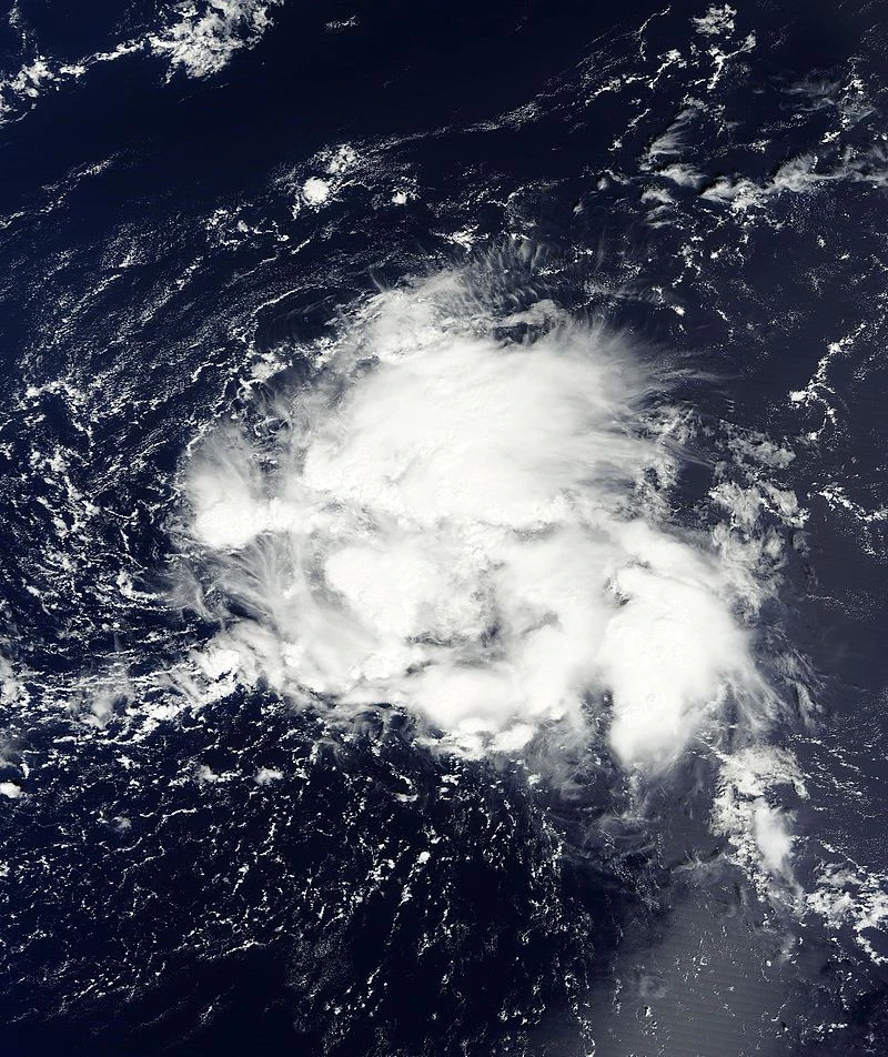
An small area of cloudiness was monitored for development on September 7 south of Bermuda, Altough sheared. the tiny area managed to obtain a circulation on September 10, Operationally advisories were never started 18 hours later as Subtropical Depression Fifteen, Fifteen quickly became tropical as the same time it was becoming extratropical, And the last advisory was issued at 1800 UTC. There is much doubt that Fifteen was a cyclone due to its organization.
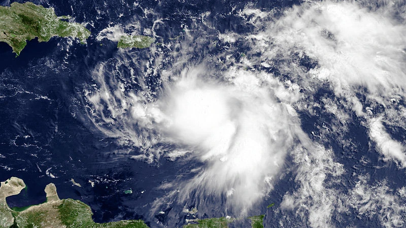
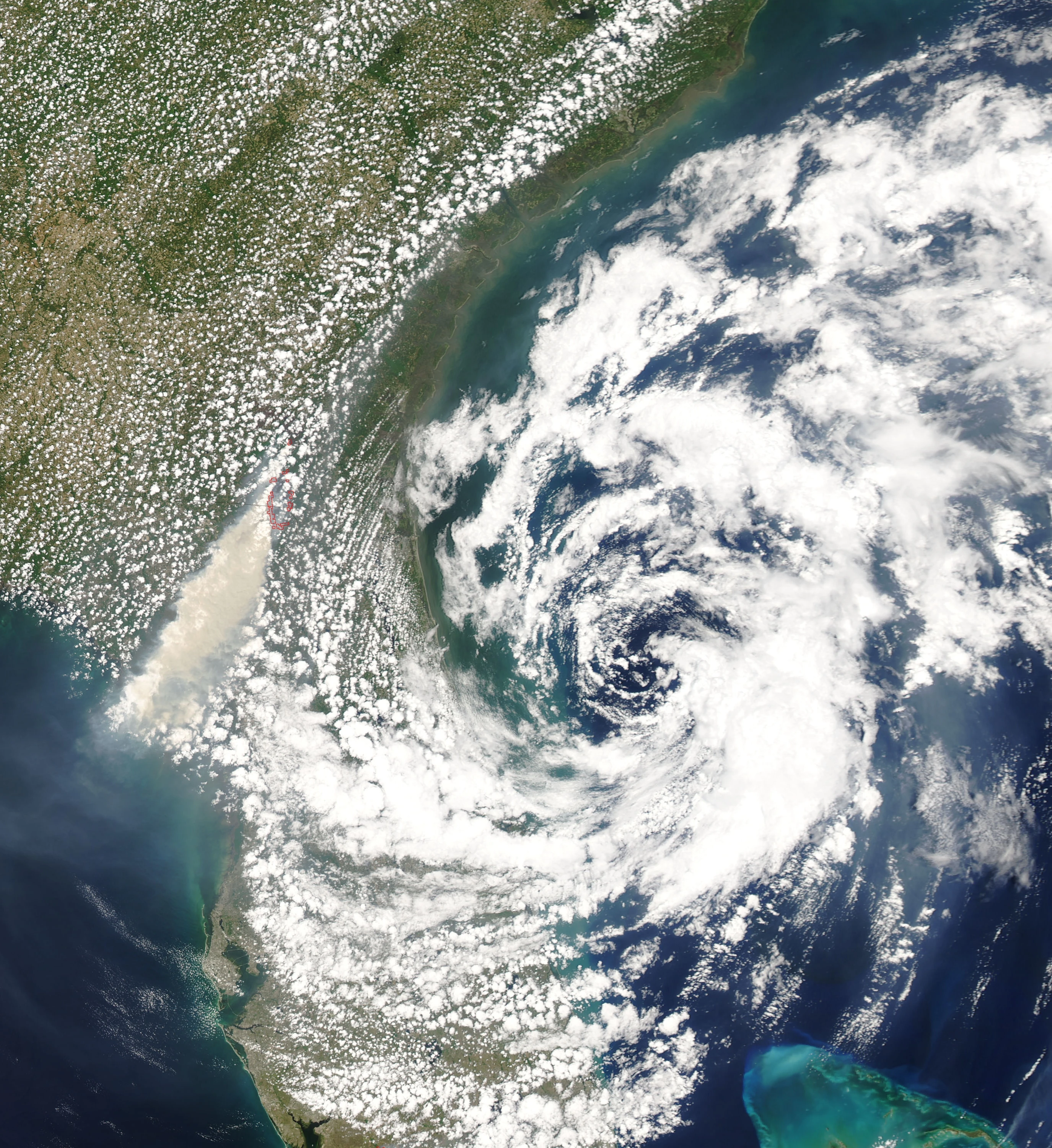
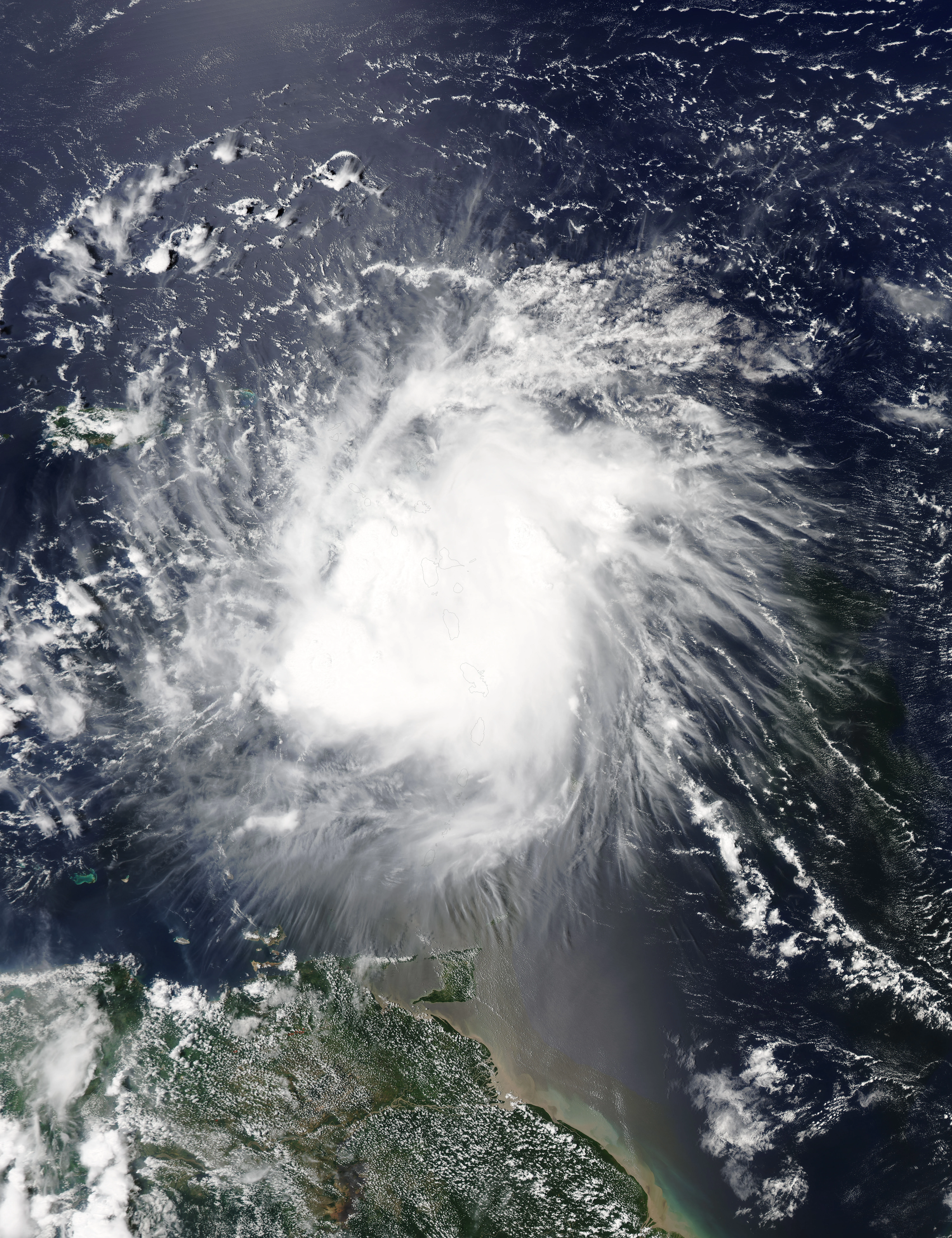
Another area of disturbed weather moved off the coast of Cape Verde in the beginning of November. It attained tropical storm force winds by early on November 1 as confirmed by a data buoy, but was not upgraded to a tropical storm until early on November 3 as the circulation closed off. Early the next day, it finally got upgraded into Tropical Storm Shary. Shary slowly organized and continued towards the Caribbean on a west-northwestward track. The storm headed due west for a short period of time while crossing the Lesser Antilles. By the time the storm got to Hispaniola, Shary was poorly organized and the center of circulation had been periodically exposed, due to the storm battling extreme dry air and moderate wind shear. On the 11:00 advisory from the National Hurricane Center, it had been announced the proceeding Hurricane Hunters flight barely found a closed circulation.
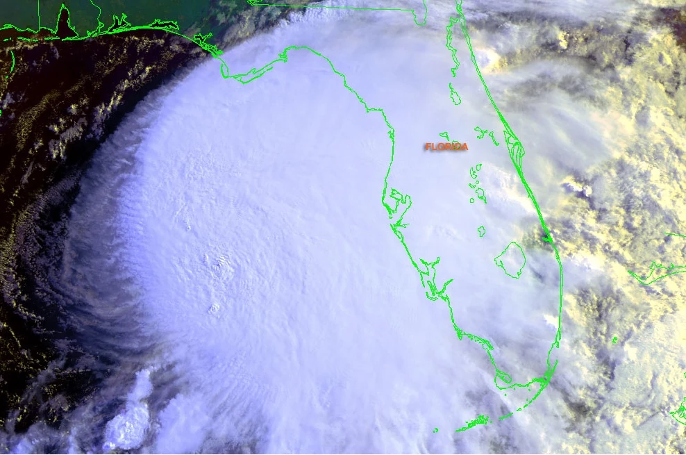
The final advisory from the NHC was the 2:00 one, and it was determined Shary degenerated into a trough sometime between the two advisories. Shary's remnants dodged Cuba to the north and produced torrential rain in Florida.
On November 8, Tropical Storm Tobias formed over the Atlantic. Tobias slowly strengthened and by November 14, it was a Major with 120 mph winds and a pressure of 966 millibars. Tobias weakened to a Category 2 hurricane by November 17 and became ex-tropical by November 18 while still packing 100 mph winds.
These are the names used in the 2016 Atlantic hurricane season. This is the same list as the 2010 Atlantic Hurricane Season, with the exception of the names Ian and Tobias, which replaced Igor and Tomas, respectively.