Disclaimer: The content on this wiki is fictional and NOT a resource for real tropical cyclones. NONE of this wiki's content should be taken as a real indication of inclement weather.
This page is super super super super super super awesome! It is so awesome, that, you may go crazy, and LEAVE! Be very careful when reading this awesome page! Thank you.
The following names will be used to name tropical and subtropical cyclones in the 2102 season. The names that were used so far were Alex, Bonnie, and Colin. A poll is being made to trash Bonnie, Colin, Fiona, and Gaston, and replace them with Bessie, Cletus, Frieda, and Geoffrey.
Alex
Bonnie
Colin
Danielle
Earl
Fiona
Gaston
Hermine
Ian
Julia
Karl
Lisa
Matthew
Nichole
Otto
Paula
Quvette
Richard
Shary
Tobias
Virginie
Walter
Xina
York
Zelda
The unreasonably long list of names got tired out, so the the GREEK alphabet will be in use. It goes as follows:
Alpha
Beta
Gamma
Delta
Epsilon
Zeta
Eta
Theta
Iota
Kappa
Lambda
Mu
Nu
Xi
Omicron
Pi
Rho
Sigma
Tau
Upsilon
Phi
Chi
Psi
Omega
Even the GREEK alphabet went to bed, so HEBREW NAMES had to be put in!!!!
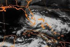
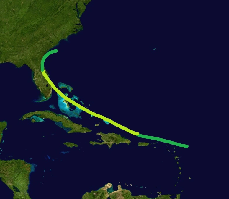
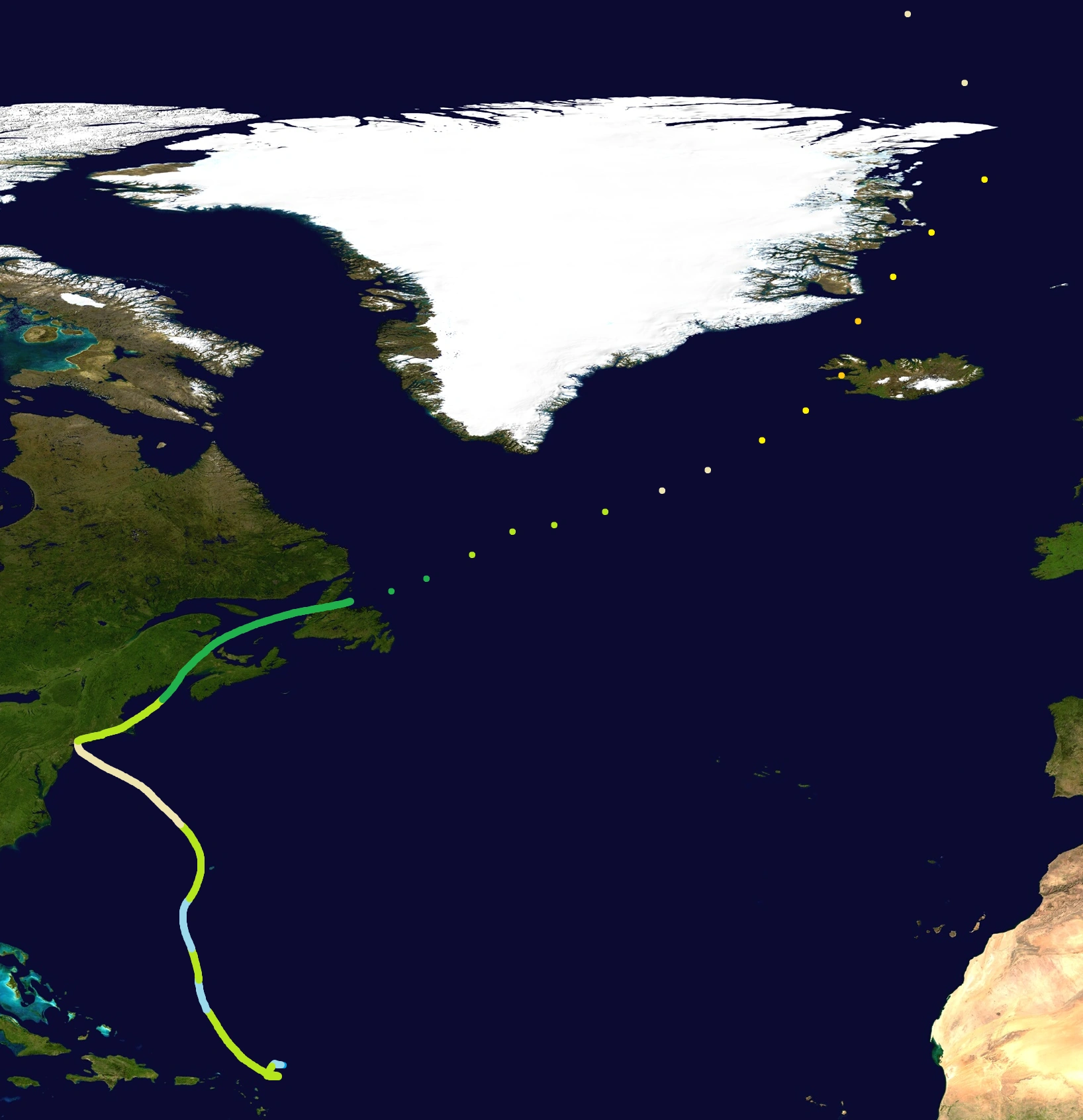
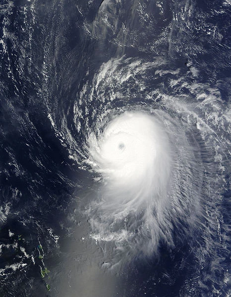
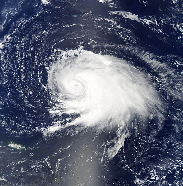
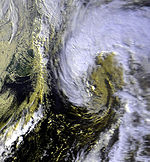
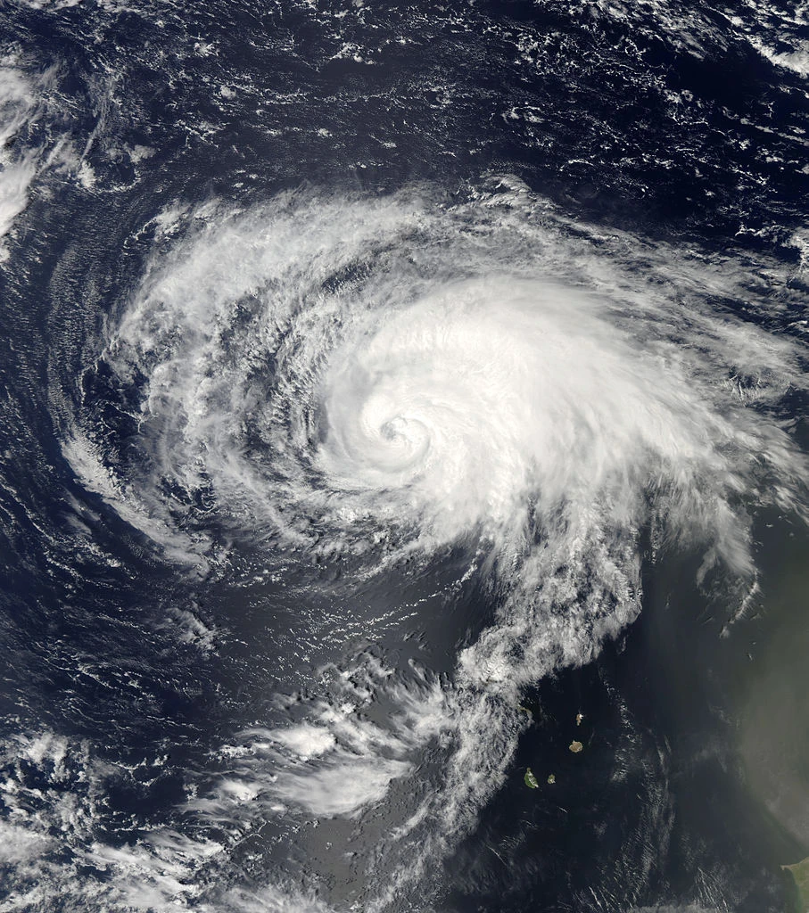
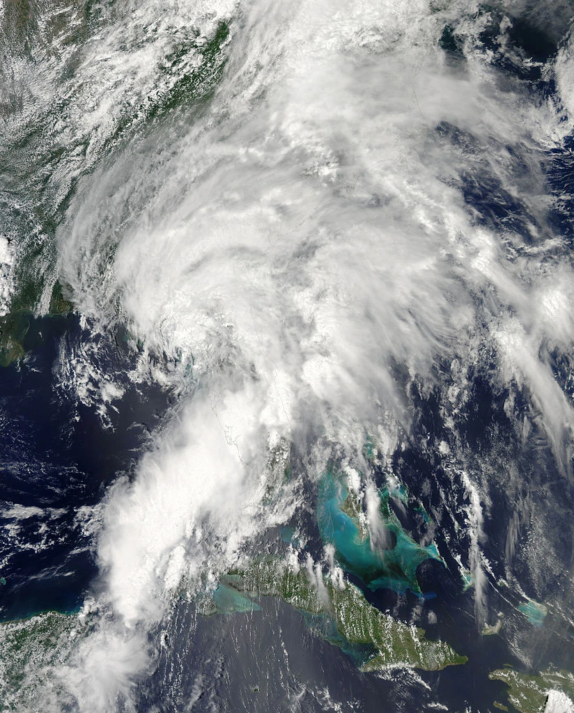
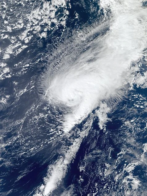
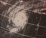
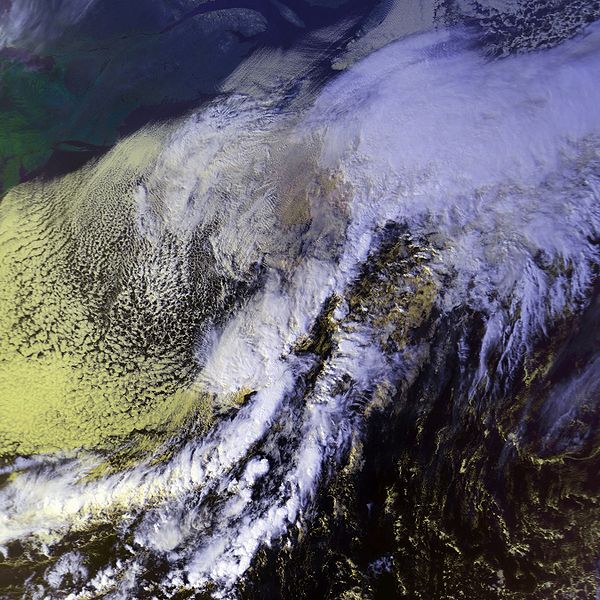
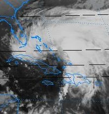
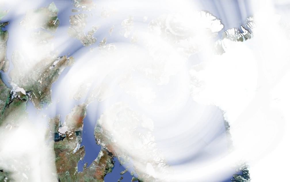
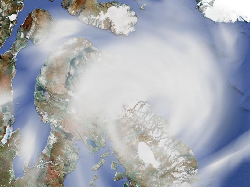
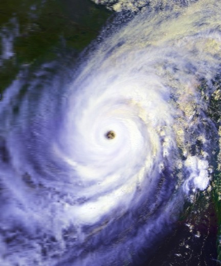
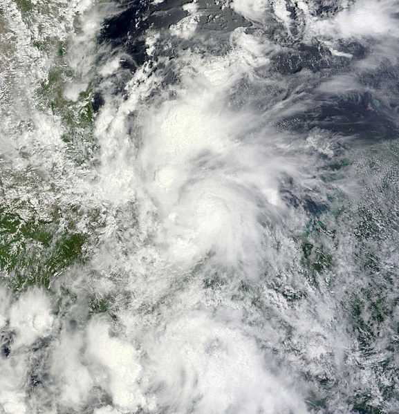
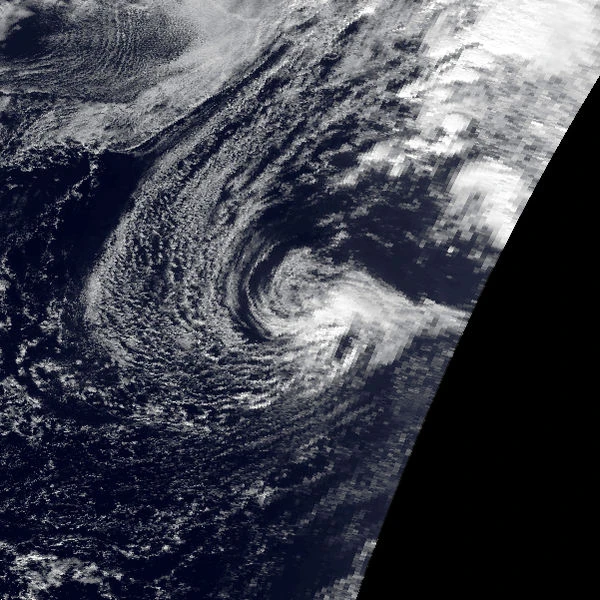
Notice: The track on the left is of Bonnie while it was in the Atlantic Ocean. The track on the right is of Bonnie as an extratropical cyclone.
Bonnie formed from 2 areas of low pressure. One went on the Florida coast and became Alex, the other went into the
open Atlantic. The low quickly formed into tropical depression two. 1 hour later, an aircraft went into two and found winds of 40 mph, a pressure of 1006 mb and a cold core center. So the National Hurricane Center upgraded it into subtropical storm Bonnie. The next day, Bonnie was upgraded to a tropical storm with winds of 60 mph and a pressure of 979 mb, the lowest ever recorded in a tropical storm. NWS predicted Bonnie would start heading towards Europe and dissipate. But instead, Bonnie started moving VERY slowly north towards the US east coast and Atlantic Canada. Bonnie then strengthened even further on the 27th, into a 70 mph storm with pressures falling like a boulder. A day later, may 28, a small, ragged eye became visible on microwave imagery, and was upgraded to a 75 mph tropical hurricane with pressures of 968 mb. Normally, that would indicate category 2 status, but only category 1 winds were recorded. Bonnie then intensified further, reaching peak intensity with winds of 80 mph and a minimum barometric pressure of 965 millibars. Bonnie then made an unusual first landfall. It was on Ellis Island on may 29 and quickly made a second landfall in New York City with winds of 75 mph. After passing the big apple, Bonnie weakened to a 65 mph tropical storm with a 994 millibar pressure. Bonnie then made a third landfall in Massachusetts with winds of 50 mph and pressures of 1007 mb. On late may 30, Bonnie weakened into a tropical depression and made landfall in West Quoddy Head at the same time. It went into Atlantic Canada with pressures
rocketing up like a comet. By the time it was between Nova Scotia and Newfoundland, the pressures were at 1099 mb. 3 hours later, at 2:00 AM on may 31, it made it's fifth and final landfall in Newfoundland with winds of 25 mph and pressures of 1010101010101010100010111111101010101011111010 millibars according to courrupt computers. We may never know what the true pressure was, it might have been 10011. A half hour later later, the unknown depression which was once the powerful hurricane Bonnie decayed into an extratropical cyclone. The cyclone became incredibly powerful and started towards Iceland. A powerful snowstorm arose from it, and snow over 600 feet tumbled Greenland. When it went by Iceland, even the snowmen needed a thousand articles of clothing to keep from freezing to death. It kept on moving north. When it reached the north pole, it started a new trek southward. It made yet another landfall on Santa's Workshop, and it helped there, because they never had even a nanometer of snow since 2050. It continued southward and made landfall on Russia. It still continued southward, and into the Indian ocean, where it became a depression, and dissipated. Altogether, Bonnie caused $94 billion 2102 US dollars in damage. It was kinda costly. But it would soon be beaten by storms like ALPHA.
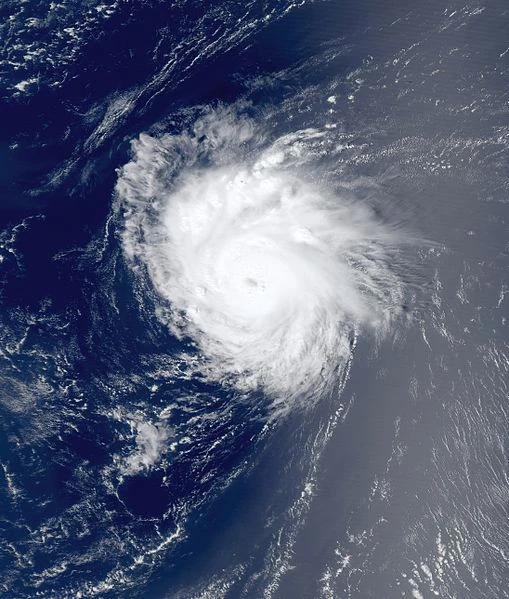
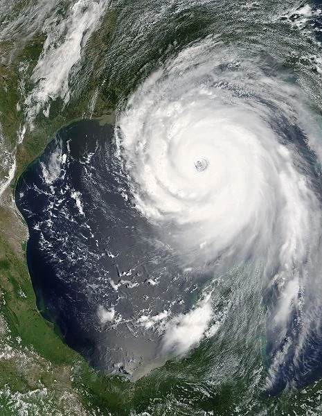
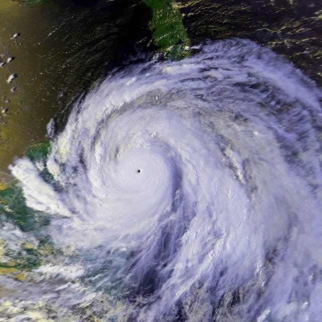
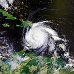
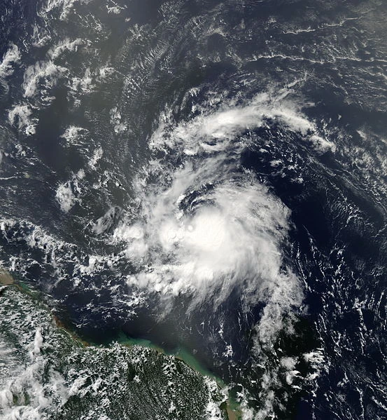
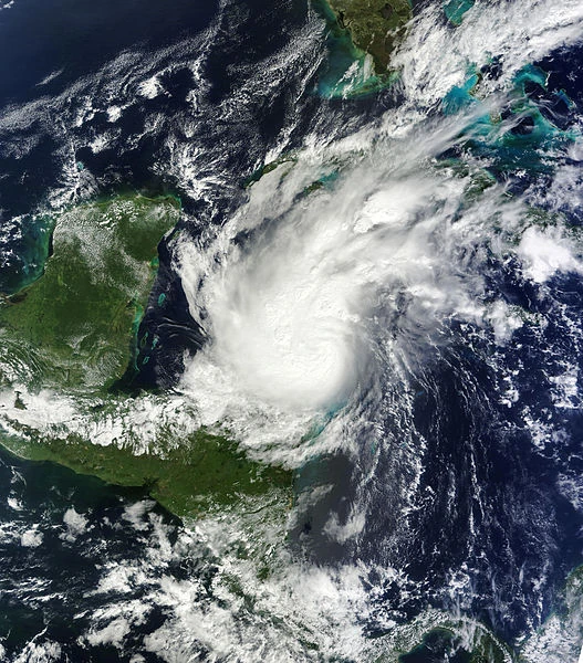
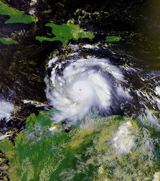
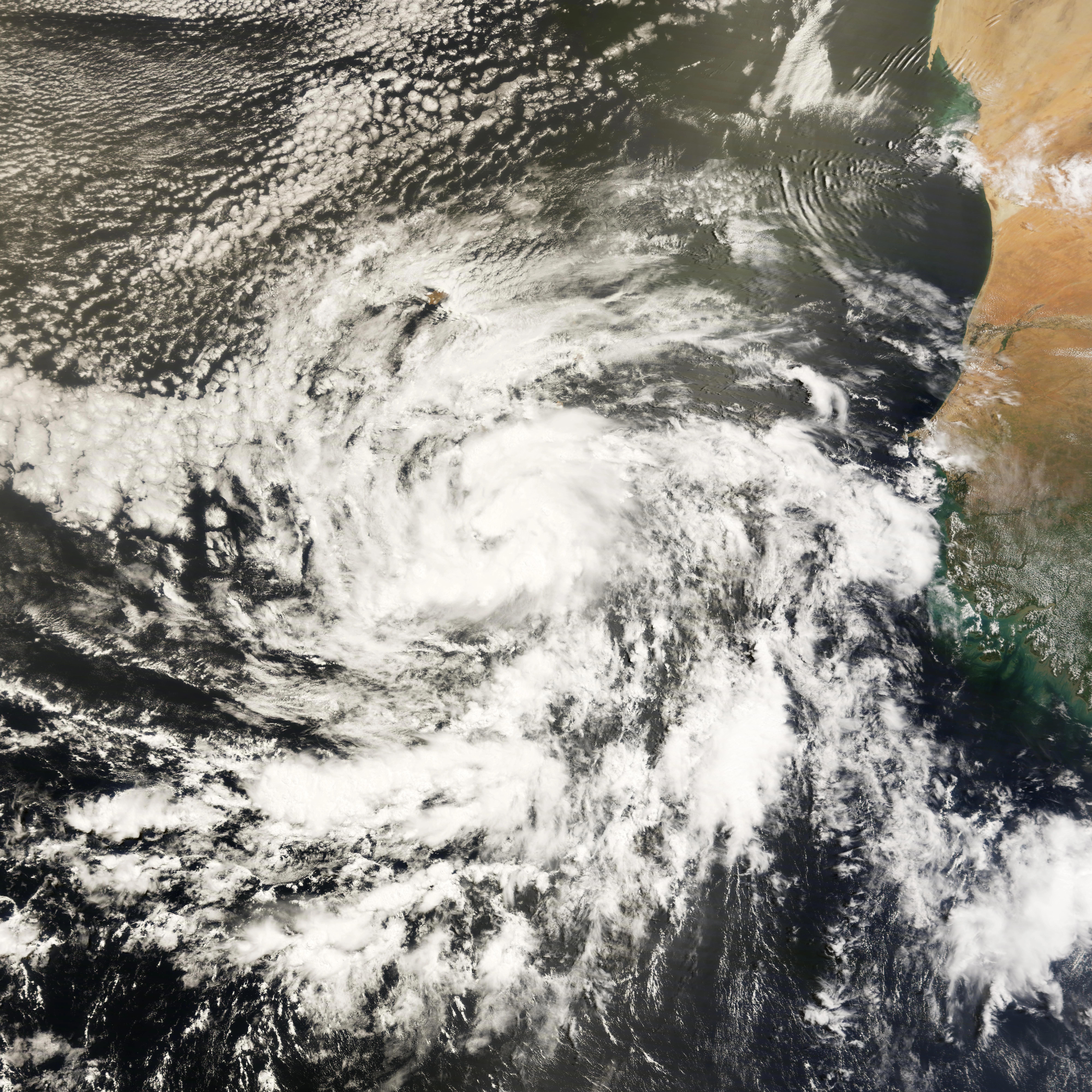
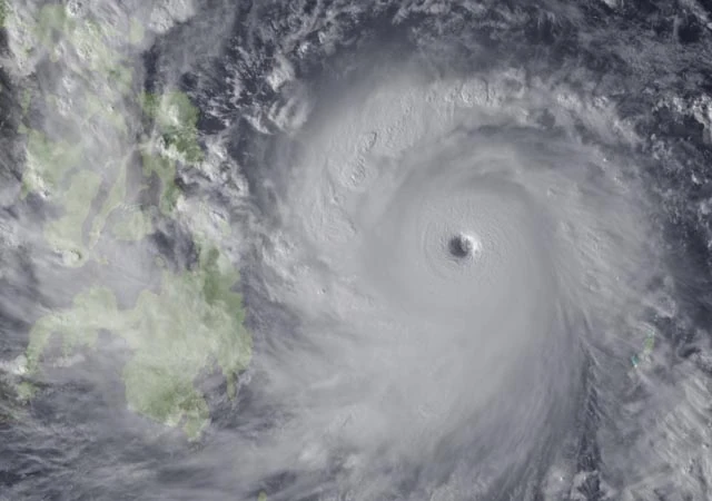
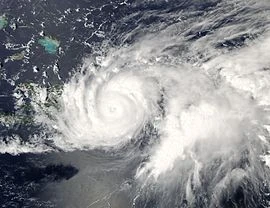
This extremely strong and long lived cape verde type hurricane is the earliest C storm and the earliest category 4 storm in recorded history. The third named storm, second hurricane, and first major hurricane of the season, Colin formed from a vigorous wave that went off Africa. Colin formed slowly due to polar contitions north of it. It then turned into a category 3 and hit the leeward islands. But Colin wouldn't give up, as it then hit Haiti as a category 4, then the deaths and death count began. In the leeward islands, 101 people died because they were surfers. 1,001 people died in haiti because of unidentified flying Teddy bears. 9,898 people died in Cuba because of(gasp!) flying chair missiles. The death count in the islands slowly climbed up to 10,000. Before it hit the Bahamas, Colin reached his peak intensity with 150 mph wind, and a pressure of 920 millibars. A million people died in the Bahamas due to trees. A billion people died in Florida due to the 99,999 foot high storm surge. Only one person died in Bermuda because the storm pulled the guy into thin air. The storm lasted even in europe in which it caused a zillion deaths because everybody ran away. After that, on July 3, all of the European survivors, which are 25, moved to the US of A, which is a pretty dumb move, you know, considering the amount of monstrous hurricanes hitting there this year. Also on June 25, Colin dissipated 220 miles southwest of Moscow, Russia. In all, Colin caused $100 billion dollars in damage and 1,000,001,001,010,000 deaths, making it the deadliest storm ever. Although this would be roughed up by Gaston.
Tropical cyclone trivia[]
Hurricane Colin is the earliest C storm in recorded history, surpassing Hurricane Cameron of 2051, which formed on june 2. Hurricane Cameron surpassed a weaker incarnation of Colin of 2016, which formed on June 3.
Hurricane Colin is the deadliest tropical cyclone in the world, with fatalities exceeding 1 trillion. The last record was by a super cyclone which hit Pakistan or something and caused 500,000 deaths. This would later be surpassed by Gaston later in the year.
Hurricane Colin is the earliest category 4 tropical hurricane on record, surpassing the not so powerful hurricane Dennis of 2005. It's pretty awesome that Hurricane Dennis will have a record for nearly 100 years until Colin.
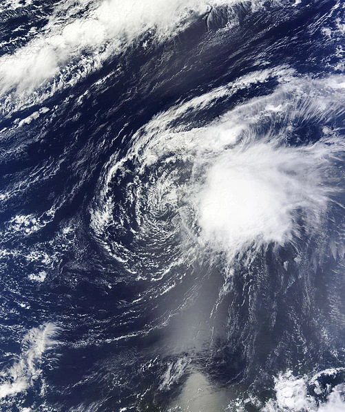
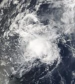
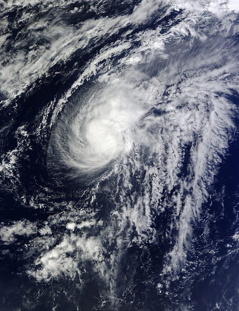
On June 3, a wave went off Africa. 1 hour later, a hurricane hunters flight into the system found a tiny closed center, 35 mph winds, and a pressure of 1011 millibars. Because of this, the National Hurricane Center upgraded it to Tropical Depression 4. Another hour later, supercomputers saw that four had strengthened to winds of 40 mph and a pressure of 999 millibars. Then, four was named Danielle. Then, suddenly, 1 day later, Danielle dissipated. This was probably because of Colin to Danielle's west. But the remnant low continued to strengthen, and on June 6, it had hurricane force winds. On June 7, an eye formed in the center and a closed circulation formed, that ment Danielle regenerated with category 1 hurricane force winds. After this, Danielle rapidly intensified into a category 2 and reached its peak intensity. Danielle maintained this intensity until June 9, when she weakened to a category 1. At the same time, Danielle gained a "tail" coming into a ball of convection, which meant it began to transition to extra tropical status. That next day, people on a cruise ship had felt the "tail" pass over them, and they noticed a HUGE tempature difference of about 20 degrees. Because of this, Danielle dissipated once more into an extra tropical cyclone. The extra tropical remnants caused one blillion blillion blillion blillion megameters of snow in Europe, witch killed 657645744644674746 people. In 2103, post analysis revealed that from June 4–6, Danielle remained a tropical cyclone the whole time.
Never made a landfall, but killed a few on the US east coast.
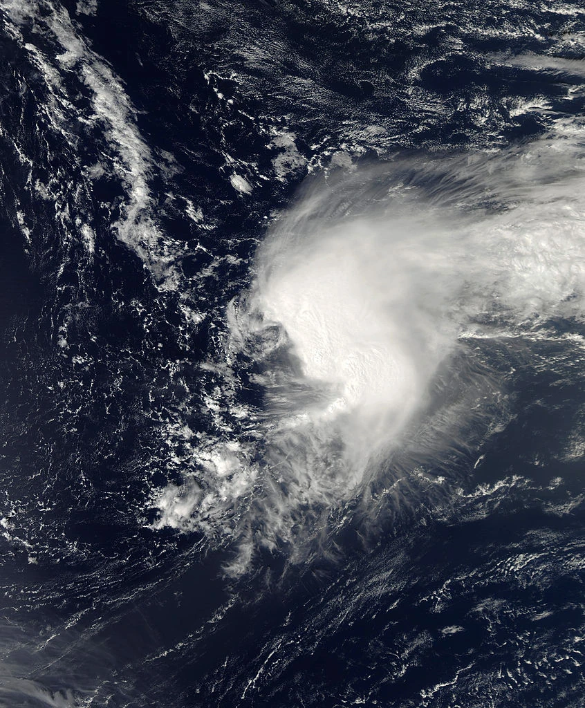
On June 6, an area of low pressure intensified into Earl a few hundred miles off of Africa. The storm rapidly intensified and became a category 4 the next day. On June 10, unimaginable wave heights battered Puerto Rico. Amazingly, however, no one died. Three days later, earl grew to biblical heights, with the wind field stretching to 1,900 square miles. This caused 100 foot high waves to batter new england, which killed 10, and caused $10,000,000,000 in damage. On June 18, earl became Extratropical but still packed cat 4 winds. This left Newfoundland to be completely obliterated by earl's passage to the east of the island. Earl dissipated on July 6 near the magnetic north pole.
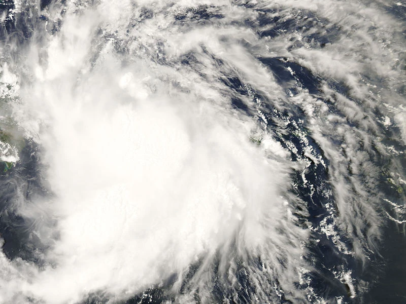
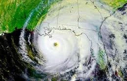
Fiona went off Africa and hit Louisiana. People everywhere died. On June 8, a tropical wave became Tropical storm Fiona. On June 13, Fiona became a hurricane west of Sarasota, FL. Fiona continued to bomb and it made peak intensity on June 14 with winds of 155 mph and a pressure of 916 mbars. Fiona made landfall on Louisiana on early June 15 with 110 mph winds. Fiona rapidly weakened and became a remnant low 9 hours later. Fiona killed around 10,000 people in its path.
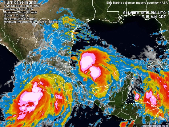
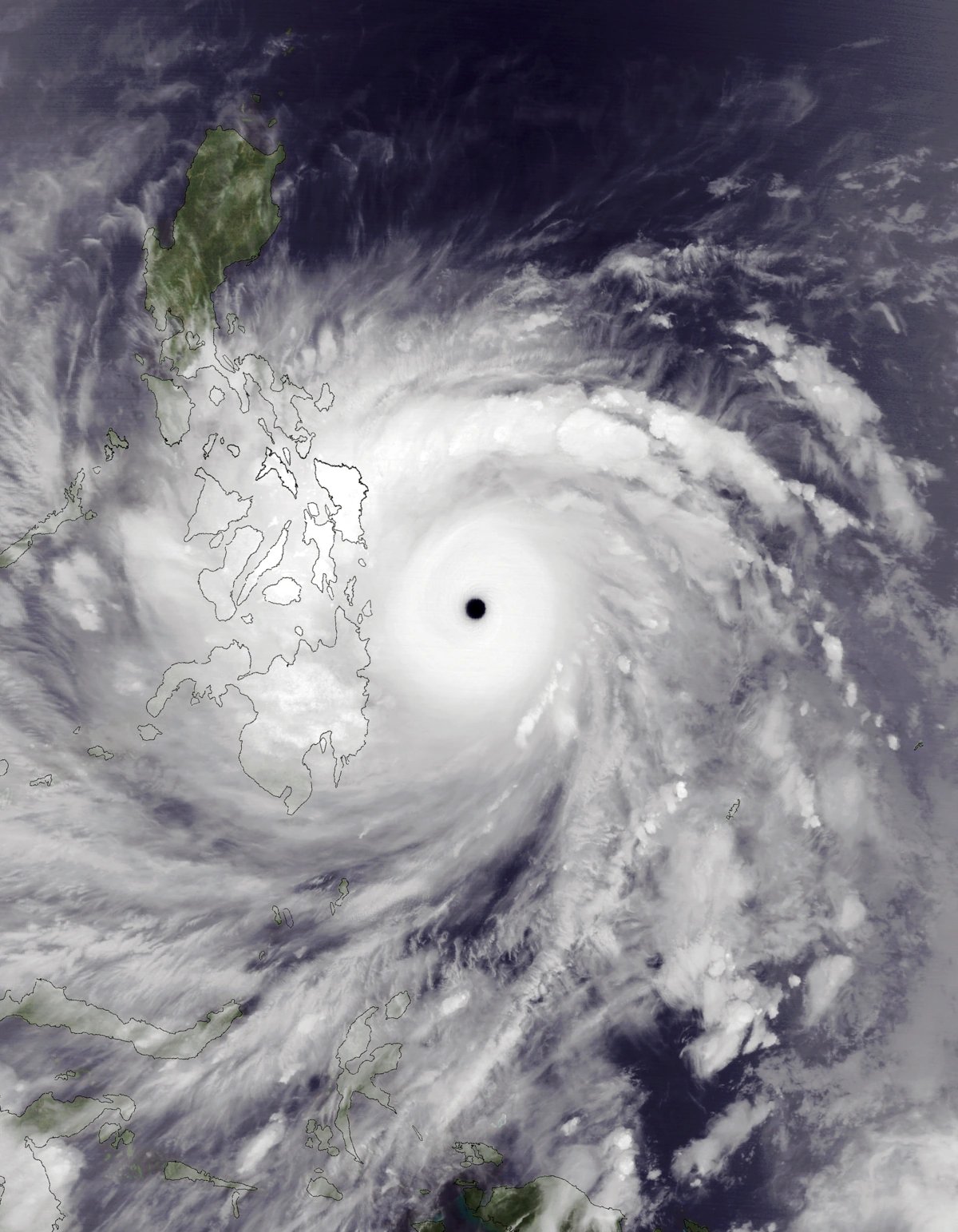
Gaston, the first of many 160+ mph storms in the season was the deadliest June Atlantic hurricane on record. It formed on June 1 as a monsoon wave. It was over Africa at that time. Unlike your typical wave, it rained lightning. So the entire northern half of the continent(yes, including the Sahara Desert) was scorched by its lightning rain. Once it exited into the open Atlantic on June tenth, BOOM, it immediately became tropical storm Gaston. A day later, it evolved into a hurricane. Afterwards, the storm began an impressive round of rapid intensification. Ten hours later, it was a category 3, and reached its initial peak intensity at 120 mph and 953 millibars. Then it stopped strengthening due to the fact that Gaston didn't even have an eye yet, and made landfalls in the leeward islands. It weakened to a cat 2 after that. It then made another landfall in puerto rico and weakened to a cat 1. After reemerging, Gaston turned into a literal nuke. It intensified into a 140 mph/938 mbar cat 4 in 3 hours. It exploded into a 165 mph/915 mbar cat 5 just south of Grand Cayman Island 4 hours later. It caused some havoc there, but no major destruction was reported. It continued to intensify throughout the day and reached its peak of 185 mph/895 mbar while making a landfall on the Yucatan Peninsula. There, Gaston caused a hefty 982 thousand deaths due to incredible record flash flooding nobody could possibly escape from. It made landfall just north of Veracruz, Mexico 3 days later as a 125 mph Category 3 hurricane and killed an unspeakable amount of people. Unfortunately, Gaston proved to be too weak against the mighty mountains of Mexico, and dissipated shortly after landfall. From reliable rumor, we can conclude that this hurricane caused over a TRILLION thousand deaths there from Godzilla sized mudslides and record flash floods that turned entire lands into lakes. That came along with $117 billion in damage, the second costliest ever recorded in that country alone. This made way for a revolution. With the entire Yucatan Peninsula, and places anywhere within 200 miles of Veracruz obliterated, they did not being the cities back. Instead, in 2103, they turned the Peninsula into a memorial for everyone that was killed within the cyclone. Veracruz got turned into a museum exhibiting all of the artifacts that were found lying in the catastrophic devastation left in the hurricane's wake. Overall, Gaston caused $119.7 billion 2102 US dollars in damage, along with an estimated 30,294,005,992,189,156 deaths. Due to this, the name Gaston was retired and replaced with Geoffrey for 2108. That name, Gaston will never be used for an Atlantic hurricane, ever again.
Hermine was first seen as a invest north of the depression that would become the almighty gaston. It soon dissipated due to vertical wind shear from GASTON. The remnants of the invest accelerated westward, producing 12 inches of rain across the Caribbean. The invest was said to have regenerated on July 25 east of quintinia roo. It was named hermine on June 26 due to finding tropical storm winds in the center. 4 hours later, it was absorbed by an east Pacific storm, not causing any damage, but a family of 4 in quintinia roo died because of a massive 20 meter high storm surge. Not much is known about the storm.
ACE is the result of a storm's winds multiplied by how long it lasted for, so storms that lasted a long time , as well as particularly strong hurricanes , have higher ACE totals. 2102 was martian active in these terms; with an ACE total of FOREVER!!!!!!1 Tropical Depressions and Subtropical storms are not included in season totals.