Storms[]
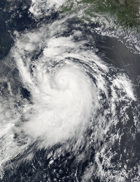
Hurricane Arnold[]
| Category 1 hurricane (SSHWS) | |
  | |
| Duration | May 24 – May 28 |
|---|---|
| Peak intensity | 85 mph (140 km/h) (1-min) 989 mbar (hPa) |
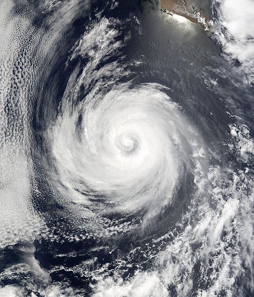
A tropical low moved of the coast of Africa. Nearly dissipating while going west, the storm started to organize in the Caribbean. As it was beginning to cross South America, it was developing a low-level circulation. It stayed very organized through the crossing, and entered the Pacific. The low became Tropical Depression One-E a few hours after it came into the Pacific. The storm changed little in strength for a day, then rapidly intensified into Tropical Storm Arnold with 60 mph winds. Arnold waned and waxed in strength. It finally strengthened and became Hurricane Arnold later that day. Arnold strengthened a little bit more before finally peaking at 85 mph 989 mbar. Arnold began paralling the coast and made landfall slightly weaker at 80 mph. Arnold explosively weakened, dropping from 75 to 30 mph in a single day. The remnants of Arnold contributed to floods in Mexico and Texas.
Tropical Storm Betty[]
| Tropical storm (SSHWS) | |
  | |
| Duration | June 5 – June 8 |
|---|---|
| Peak intensity | 70 mph (110 km/h) (1-min) 1007 mbar (hPa) |
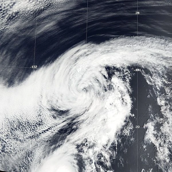
A well organized low developed about 250 miles northwest of Baja California. With left over moisture from Arnold, and mariginal temps of 78 F, the low became Tropical Depression 2-E. This system was not forcast to intensify, but the depression defied the forcasts, and became Tropical Storm Betty. Betty slowly intensified, reaching to near hurricane strength the next day. However, cooler waters (55 F) rapidly weakened Betty. Despite horrible water temperatures, 40 to 55 mph wind shear, and unfavorable upper level winds, Betty was able to persist, but struggle at 40 mph. Betty weakened into a depression, and into a remnant low. It stayed a pile of low level swirls, but fully dissipated soon after.
Tropical Storm Cosmo[]
| Tropical storm (SSHWS) | |
  | |
| Duration | June 17 – June 18 |
|---|---|
| Peak intensity | 40 mph (65 km/h) (1-min) 1014 mbar (hPa) |
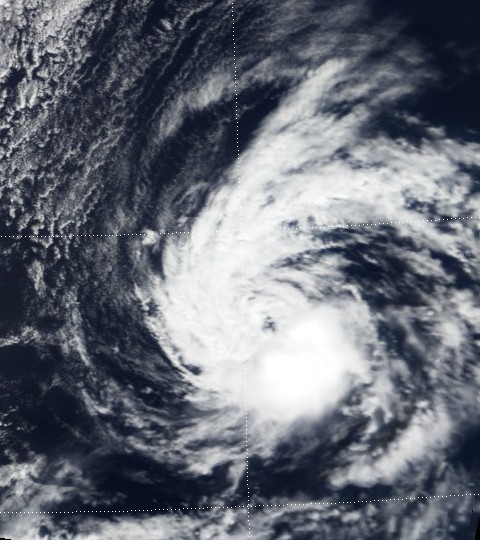
Cosmo developed from a little front just 15 miles west of middle Baja California. Causing rains and showers there, another front came in a pushed it out to sea. Marginal to normal temps of 79 to 81 degrees suited the low, and slowly organized into Tropical Depression Three-E. Pushing it's speed to nearly 40 mph, the depression was close to entering the Central Pacific. However, weakening Typhoon Joanna turned the system around, and became Tropical Storm Cosmo. Cosmo only stayed in storm strength for 1 hour. Cosmo quickly dissipated. The remnants fused with the remnants of Joanna to create a supersnowstorm in Alaska.
Hurricane Dani[]
| Category 2 hurricane (SSHWS) | |
  | |
| Duration | June 24 – June 28 |
|---|---|
| Peak intensity | 100 mph (155 km/h) (1-min) 979 mbar (hPa) |
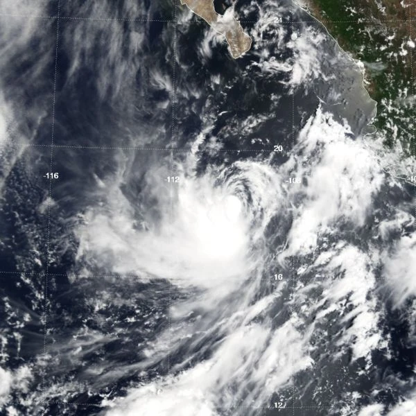
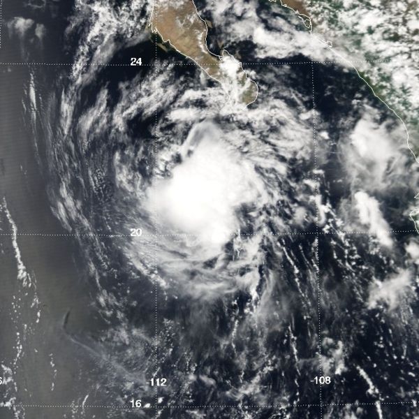
The system that created Dani was first seen by meteorologist Dan Flishman on his vacation. The low was organizing fast, and became Tropical Storm Dani with winds of 55 mph. Dan came back from his vacation to see this storm. He said, "This might be strongest in the Pacific for what I've seen!" Dani stood still, disorganized, and weakened to winds of 40 mph. Flishman began to get angered, until Dani rapidly intensified from 45 to 75 mph. He started bragging about him being right when Dani intensified even more, but was furious when it's peak was only 105 mph. He cursed and was fired from NHC. Dani quickly turned east and made landfall in Baja California as a 90 mph hurricane. It made another landfall after rapid weakening and made landfall in Mexico as a 35 mph depression. The remnants dissipated the next day.
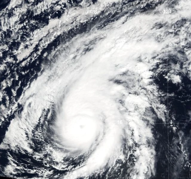
Hurricane Ero[]
| Category 4 hurricane (SSHWS) | |
  | |
| Duration | June 30 – July 7 |
|---|---|
| Peak intensity | 135 mph (215 km/h) (1-min) 945 mbar (hPa) |
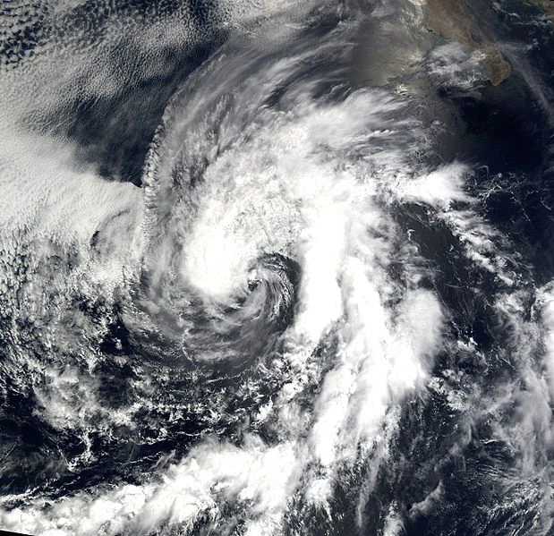
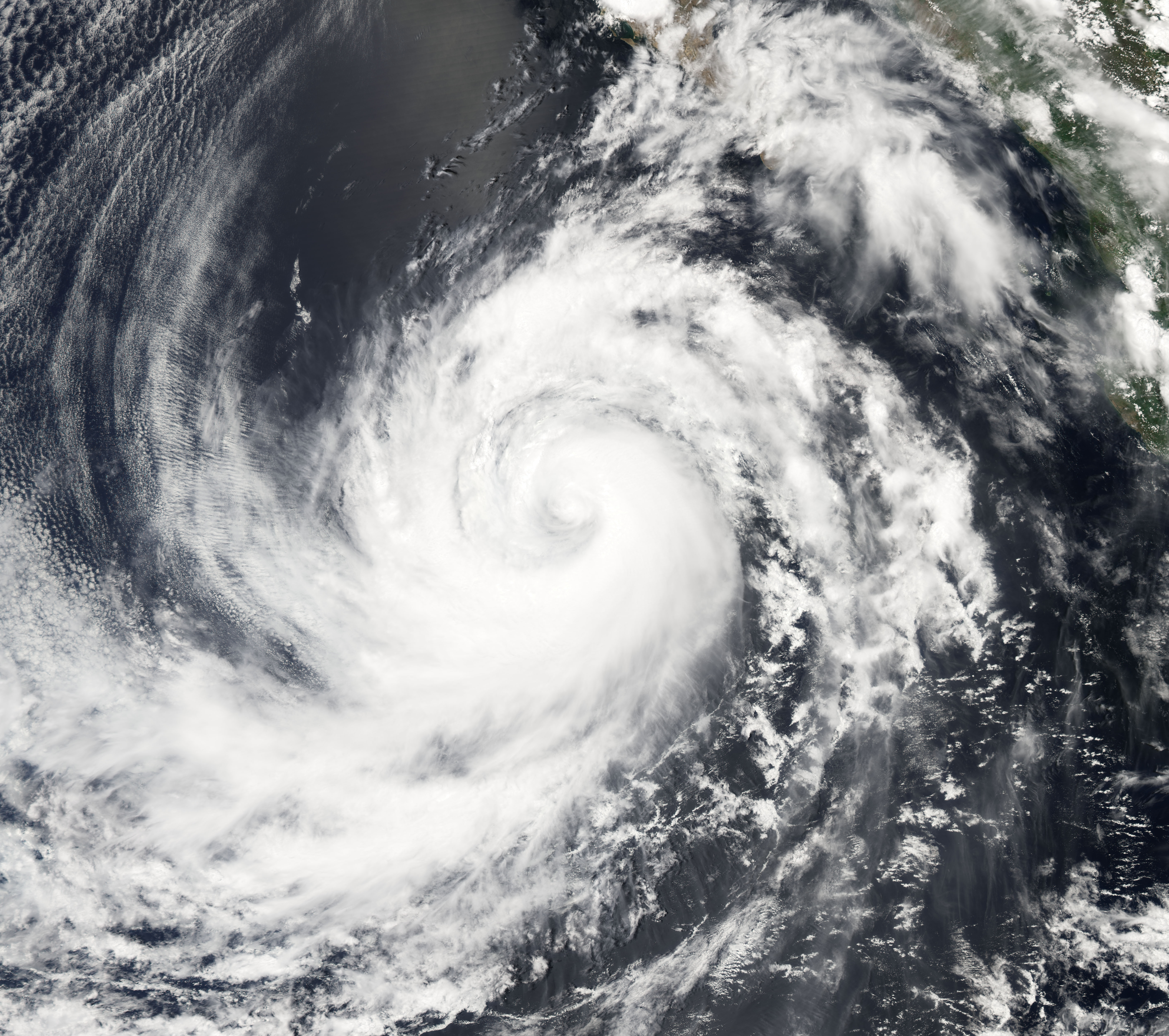
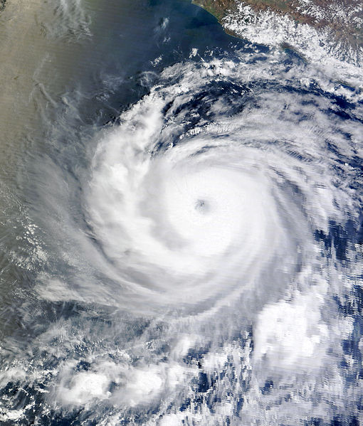
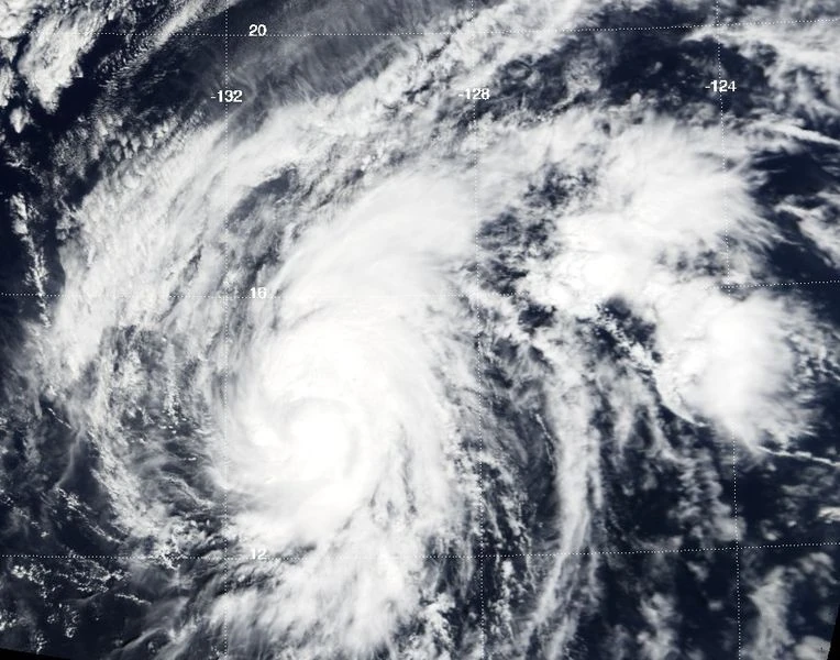
Ero formed from a disorganized but vigorous low in the Atlantic. It crossed over into the Pacific and quickly organized into Tropical Depression Five-E. It was a deviant storm, predicted to turn west and become a low Tropical Storm, but instead turned northwest. It intensified into Tropical Storm Ero. It rapidly intensfied, jumping from 40 to 70 mph in only six hours. Then it struggled for a little, with it's circulation being disrupted by a cut-off from the Remnant Dani. Instead of passing it, Ero absorbed it and intensified into a 85 mph hurricane. As it pushed northwest into cooler waters, Ero unusually rapidly intensified to a high-end Category 3 hurricane with winds of 125 mph (205 km/h). It was not to intensify anymore as cooler waters approached. However, with the warm left, Ero was able to peak as a Category 4 with winds of 135 mph (215 km/h) and a pressure of 945 mbar. Ero rapidly weakened, dissipating on July 7.
Tropical Storm Faye[]
| Tropical storm (SSHWS) | |
  | |
| Duration | July 17 – July 20 |
|---|---|
| Peak intensity | 50 mph (85 km/h) (1-min) 998 mbar (hPa) |
A very weak low developed in the South East Pacific. It moved north and became Tropical Depression Six-E. For most of it's life, it was a depression. However, as it was encountering a turn northeast, a puddle of warm water rapidly intensified the depression into Tropical Storm Faye. As it became a tropical storm, it already was at it's peak of 50 mph (85 km/h). It weakened back into a depression and dissipated about 55 miles west of Baja California.
Tropical Depression Seven[]
| Tropical depression (SSHWS) | |
 | |
| Duration | July 24 – July 25 |
|---|---|
| Peak intensity | 30 mph (45 km/h) (1-min) 1010 mbar (hPa) |
Hurricane Garrett[]
| Category 3 hurricane (SSHWS) | |
 | |
| Duration | July 29 – August 2 |
|---|---|
| Peak intensity | 120 mph (195 km/h) (1-min) 966 mbar (hPa) |
Tropical Storm Harriet[]
| Tropical storm (SSHWS) | |
 | |
| Duration | August 5 – August 8 |
|---|---|
| Peak intensity | 65 mph (100 km/h) (1-min) 992 mbar (hPa) |
Hurricane Icarus[]
| Category 1 hurricane (SSHWS) | |
 | |
| Duration | August 15 – August 20 |
|---|---|
| Peak intensity | 75 mph (120 km/h) (1-min) 986 mbar (hPa) |
Tropical Storm Jane[]
| Tropical storm (SSHWS) | |
 | |
| Duration | August 22 – August 23 |
|---|---|
| Peak intensity | 40 mph (65 km/h) (1-min) 1019 mbar (hPa) |
Tropical Storm Ken[]
| Tropical storm (SSHWS) | |
 | |
| Duration | August 28 – August 30 |
|---|---|
| Peak intensity | 60 mph (95 km/h) (1-min) 996 mbar (hPa) |
Hurricane Lin[]
| Category 1 hurricane (SSHWS) | |
 | |
| Duration | August 31 – September 6 |
|---|---|
| Peak intensity | 80 mph (130 km/h) (1-min) 987 mbar (hPa) |
Hurricane Micah[]
| Category 5 hurricane (SSHWS) | |
 | |
| Duration | September 11 – September 15 |
|---|---|
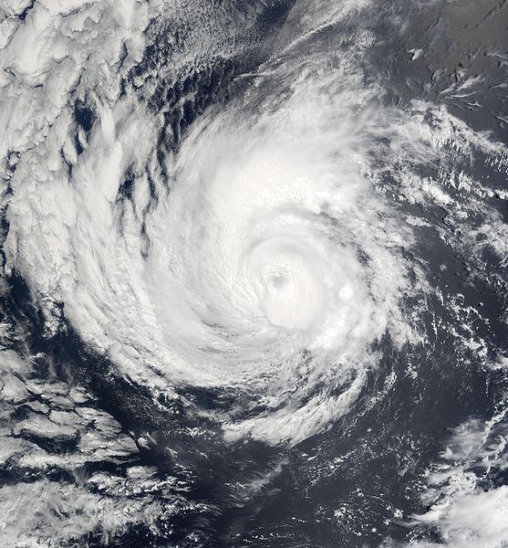
| Peak intensity | 165 mph (270 km/h) (1-min) 910 mbar (hPa) |
Tropical Storm Nia[]
| Tropical storm (SSHWS) | |
 | |
| Duration | September 25 – September 27 |
|---|---|
| Peak intensity | 45 mph (75 km/h) (1-min) 1003 mbar (hPa) |
Hurricane Oliver[]
| Category 1 hurricane (SSHWS) | |
 | |
| Duration | October 4 – October 7 |
|---|---|
| Peak intensity | 80 mph (130 km/h) (1-min) 988 mbar (hPa) |
Storm Names[]
(Arnold-Oliver were used)
- Arnold
- Betty
- Cosmo
- Dani
- Ero
- Faye
- Garrett
- Harriet
- Icarus
- Jane
- Ken
- Lin
- Micah
- Nia
- Oliver
- Paula
- Quincy
- Rita
- Steve
- Tamerica
- Ukan
- Veronica
- West
- Xalonda
- Yako
- Zona