The 2076-77 Australian region cyclone season was a very active season, consisting of many depressions, storms, and cyclones.
List of storms[]
Tropical Disturbance One[]
| Tropical disturbance | |
 | |
| Duration | September 5 – September 6 |
|---|---|
| Peak intensity | 30 km/h (20 mph) (10-min) 1001 hPa (mbar) |
On September 5, a tropical disturbance developed one hundred kilometres north-east of Broome. As the disturbance spawned in an area with high wind shear, TCWC Perth did not predict it would develop any further. The following day, the disturbance dissipated.
Severe Tropical Storm Alberta[]
| Severe tropical storm | |
 | |
| Duration | September 10 – September 13 |
|---|---|
| Peak intensity | 80 km/h (50 mph) (10-min) 993 hPa (mbar) |
Early on September 10, a tropical disturbance was spotted just above the Cape York Peninsula. The disturbance developed in unfavourable conditions, and was expected to dissipate later in the day. However, the disturbance developed further(into a tropical storm), and moved south-east. It finally stopped moving near Townsville, where it escalated into a severe tropical storm. The storm caused minor flooding in the Townsville area, amounting to $10 thousand dollars in damage, and no fatalities. After staying put for two days, Severe Tropical Storm Alberta began to move east. One hundred kilometres out to sea, the storm finally dissipated on September 13.
Tropical Storm Bert[]
| Tropical storm | |
 | |
| Duration | September 20 – September 22 |
|---|---|
| Peak intensity | 70 km/h (45 mph) (10-min) 995 hPa (mbar) |
At 11:00pm on September 20, a tropical disturbance was found far out to sea, two hundred kilometres east of Sydney. As the disturbance was in such an open area, TCWC did not predict it would cause any damage to the Australian mainland. The disturbance moved north, and within two hours, it developed into a tropical depression. This depression began to move east and became a tropical storm by the middle of the day. The storm persisted for 6 hours and then dissipated. No damage was done in the process.
Moderate Tropical Cyclone Cara[]
| Moderate tropical cyclone | |
 | |
| Duration | September 29 (entered basin) – October 4 |
|---|---|
| Peak intensity | 140 km/h (85 mph) (10-min) 964 hPa (mbar) |
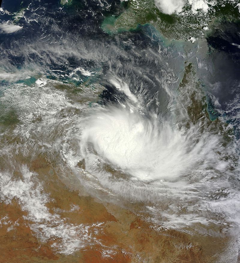
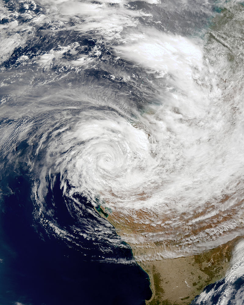
In the waking hours of September 29, a tropical depression entered the Australian basin from the South Pacific. It continued to move south-west, nearing the Cape York Peninsula. Due to hot, favourable conditions and low wind shear, the storm underwent some fairly rapid deepening and became a moderate tropical cyclone, named Cara. Only one hundred kilometres north-east of Cooktown, winds of up to 80kph began to hit the mainland and gales of 140kph persisted near the eye. On October 2, the cyclone was only twenty kilometres away from the mainland. Heavy rain and flooding hit Cooktown, and as the cyclone drew closer, residents felt the full force of Moderate Tropical Cyclone Cara. 95% of crops were destroyed and much structural damage was done, adding up to $750 million dollars total damage and 4 deaths.
Finally, on October 3, the cyclone hit mainland Australia. It weakened rapidly to a tropical depression. Moving west over Queensland, the depression brought rain to the most drought-stricken areas of Queensland and the Northern Territory. The depression finally dissipated one hundred kilometres north of Alice Springs.
Tropical Depression Five[]
| Tropical depression | |
 | |
| Duration | November 8 – November 10 |
|---|---|
| Peak intensity | 55 km/h (35 mph) (10-min) 996 hPa (mbar) |
On the evening of November 8, a tropical disturbance formed one hundred kilometres north of the Kimberley region. Despite forming in very unfavourable conditions, the disturbance pushed through and became a tropical depression late November 9. Because the depression moved one hundred kilometres north-east, it did not cause any damage to the Australian mainland. At 7:00am on November 10, the depression dissipated.
Intense Tropical Cyclone Donovan[]
| Intense tropical cyclone | |
 | |
| Duration | November 29 – December 7 |
|---|---|
| Peak intensity | 205 km/h (125 mph) (10-min) 934 hPa (mbar) |
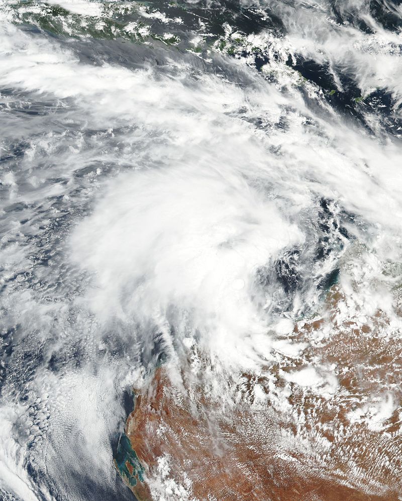
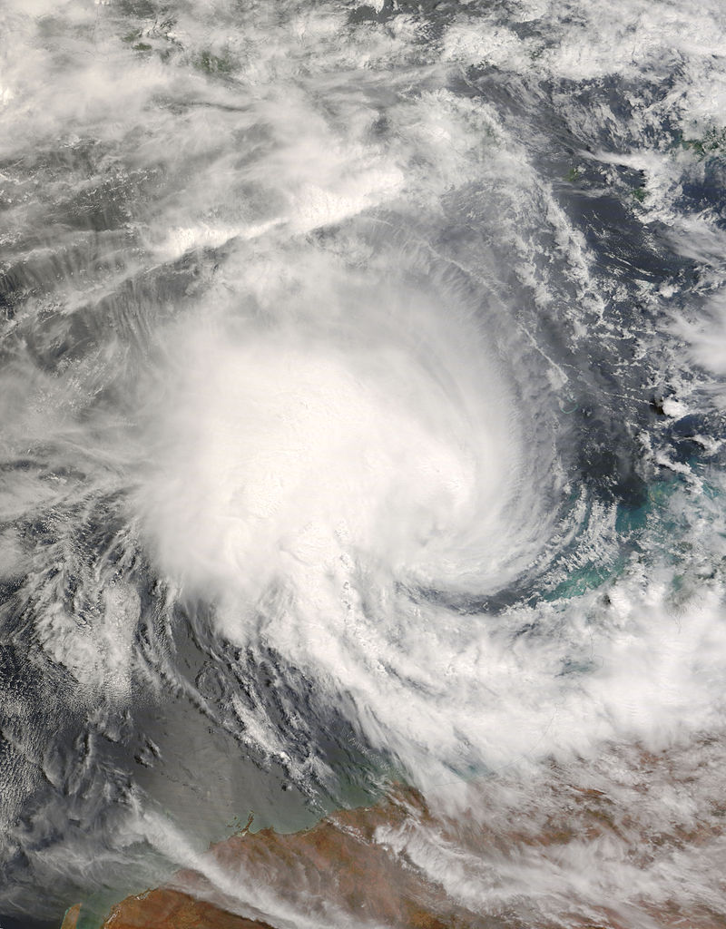
Early on November 29, a tropical disturbance developed one-hundred and twenty- five kilometres west of Geraldton. Beginning to move further north into favourable conditions, the disturbance became Tropical Storm Donovan. Fifty kilometres north of where it developed, the storm underwent rapid deepening and became a Severe Tropical Cyclone. Now starting to move closer to the Australian mainland, Donovan intensified even more and became an Intense Tropical Cyclone. Small towns north of Geraldton began to feel the force of the cyclone as it moved closer and closer, feeling winds up to 180kph. Only ten kilometres away from the mainland, many crops were damaged and lots of structural damage was done. In total, the cyclone cost $465 million dollars in damage.
Finally, the cyclone hit the mainland on December 5, and rapidly weakened to a tropical depression, which moved east over Australia, bringing rain to Western Australia. Three hundred kilometres into the mainland, the depression (now a disturbance) pushed on and started to move north, heading towards the Gulf of Carpentaria.
Tropical Cyclone Emery[]
| Tropical cyclone | |
 | |
| Duration | December 7 – December 13 (exited basin) |
|---|---|
| Peak intensity | 125 km/h (80 mph) (10-min) 976 hPa (mbar) |
Late on December 7, the remains of Tropical Cyclone Donovan hit the Gulf of Carpentaria. Due to favourable conditions, such as hot surface waters and low wind shear, the disturbance quickly deepened into a tropical storm (TCWC Darwin forgot to name it). It began to move west, further developing due to favourable conditions. Finally, as the storm went further away from the Australian mainland, it was named Tropical Cyclone Emery. On December 11, the cyclone began to move closer to the mainland. The coastal towns of Cairns and Innisfail felt winds of up to 100kph. Not much damage was done to crops, and only 7 homes were damaged. Losses amounted to only $3500 dollars as the storm moved further away again. On December 13, the cyclone finally moved into the South Pacific basin, nearing New Zealand and developing even further.
Tropical Disturbance Eight[]
| Tropical disturbance | |
 | |
| Duration | January 1 – January 1 |
|---|---|
| Peak intensity | 25 km/h (15 mph) (10-min) 1006 hPa (mbar) |
On January 1 in 2077, a tropical disturbance developed two hundred kilometres north of Port Hedland. Because the disturbance spawned in an area of very high wind shear, TCWC Perth correctly predicted the disturbance would be very short-lived, and that it would not develop any further. The very same day, only three hours later, the storm dissipated.
Moderate Tropical Cyclone Frederick[]
| Moderate tropical cyclone | |
 | |
| Duration | January 3 – January 8 |
|---|---|
| Peak intensity | 145 km/h (90 mph) (10-min) 968 hPa (mbar) |
South of Albany, a mysterious disturbance spawned in very cool waters on January. Trekking west, TCWC Perth issued their first advisory on it. They did not predict the storm would last long, as it was moving through such cool waters and was very disorganised. Despite generally unfavourable conditions, the disturbance began to move north and into warmer seas, developing into a Tropical Storm Frederick. Staying close to the land, but not too close to weaken, the storm brought heavy rain to the coastal cities of Bunbury, Mandurah and Perth (150mm, to be precise), and 37 homes had to be evacuated - however, there were no losses in money. Beginning to move further north-west, away from the mainland, the storm intensified into a moderate tropical cyclone. It peaked at winds of up to 145kph and pressures down to 968 hPa. By January 8, when the wind shear had become too great, the cyclone finally dissipated. No damage was done.
Tropical Cyclone Gertie[]
| Tropical cyclone | |
 | |
| Duration | January 25 – January 30 |
|---|---|
| Peak intensity | 110 km/h (70 mph) (10-min) 982 hPa (mbar) |
In the afternoon of January 25, an unorganised tropical disturbance formed near the top of the Gulf of Carpentaria. Being so close to the Australian Mainland, TCWC Darwin didn't predict the disturbance to develop further. However, being in warm seas and favourable conditions in general, the storm tracked east while developing into a tropical storm, subsequently named Gertie. No gale force winds reached the mainland, but heavy rain pounded the town of Weipa. Now near the top of the Cape York Peninsula, the storm intensified into a tropical cyclone on January 28. Further away from the Australian mainland now, the winds of up to 110kph near the eye were not felt by Australians, and no rain hit the mainland either. Not moving south but rather further east, the cyclone began to enter an area of high wind shear and low sea temperatures. At midnight January 29, the dwindling storm moved further east and due to interaction with some Pacific islands, the storm dissipated into a disturbance, and finally, on January 30, the disturbance entered an area of high pressure and fully dissipated.